
Five days along the wild coast between Bosa and Tharros, through volcanic cliffs, lunar rocks, canyons, waterfalls on the sea, quartz beaches and an ancient Phoenician city
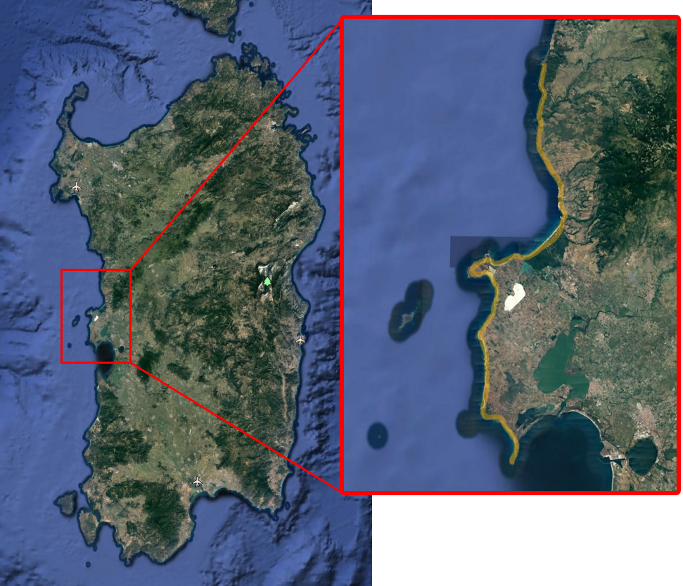
The Cammino dei colori is a coastal trek that starts from Porto Alabe (Tresnuraghes), passes through the entire coast of Cuglieri and the Sinis peninsula, and arrives at Capo San Marco (Cabras).
It takes its name from the thousand colors that you encounter along the path, from the lush colors of the houses of Bosa to the incredible plumage of the bee-eaters, tropical birds that choose this place to nest in the summer season. But not only: black, like the volcanic coast of Cuglieri; white, like the cliffs of S'Archittu; turquoise, like the crystalline sea of Sinis; pink, like the flamingos of the many ponds behind the dunes; red, like the thousand poppies among the wheat fields; green, like the Mediterranean scrub...
You walk on foot following the coast. A couple of fords make the journey adventurous. One of these, inside the Canyon of the Rio Mannu of Sennariolo and Tresnuraghes, we will tackle with the help of a dinghy...
Check the calendar to see if it's scheduled (Click here!)
The main places of interest along the way
Bosa
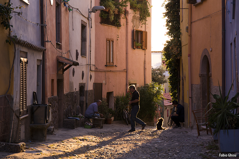
One of the most beautiful and colorful ancient villages in Sardinia, dominated by a medieval castle and cut in two by the Temo river. Bosa is a welcoming town where you can get lost among its winding and impervious streets of the center, where you can savor the flavors of the Sardinian culinary tradition, between land and sea, with a good glass of Malvasia. An excellent place to stay before starting the journey...
Punta foghe and Rio Mannu
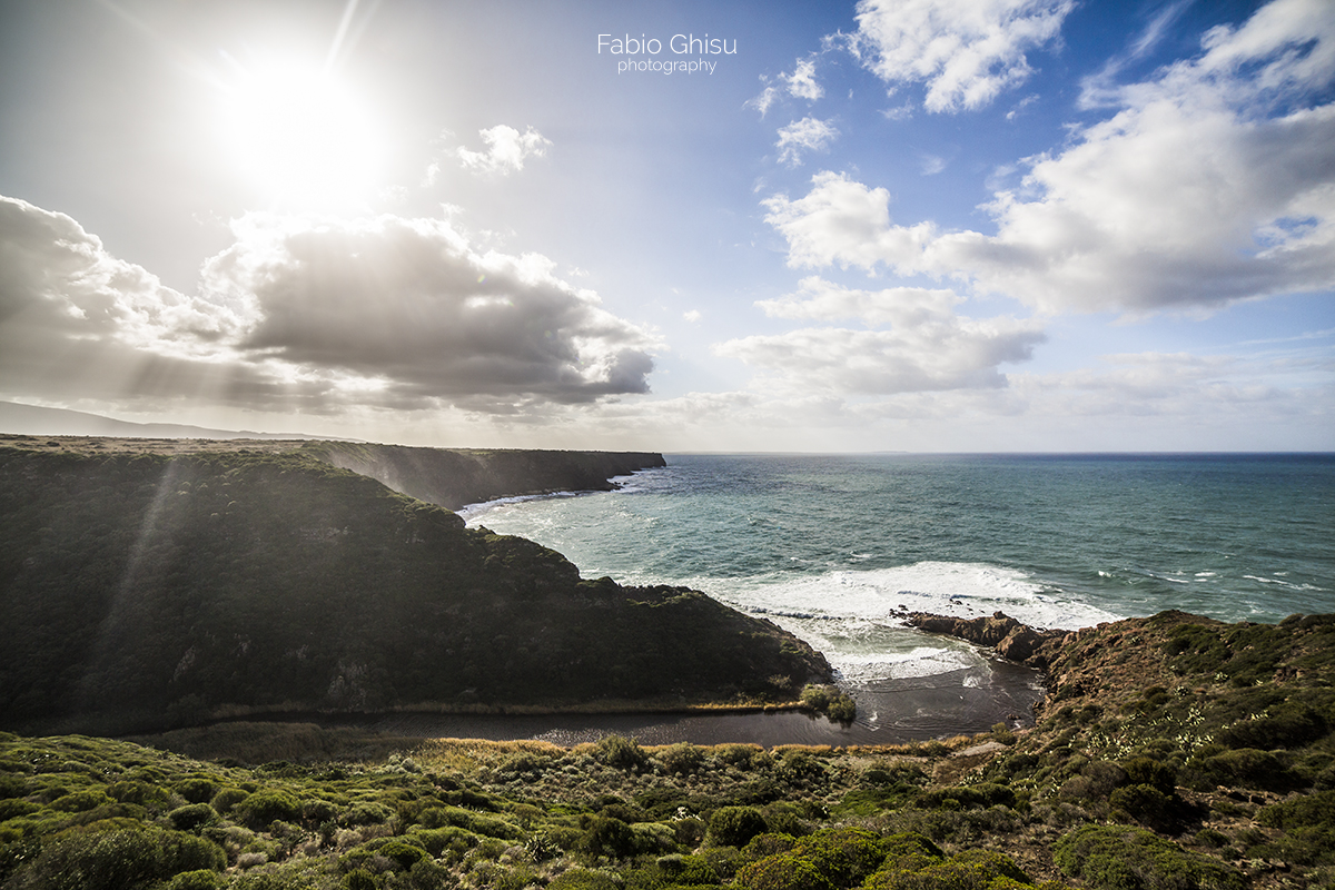
One of the most beautiful views of the entire trek. An ancient Spanish watchtower dominates the Canyon formed by the Rio Mannu. We will walk down to the mouth and with the help of an inflatable canoe we will cross the river and then continue our journey. A true adventure in one of the most hidden and wild places on the Sardinian coast.
Capo Nieddu waterfall
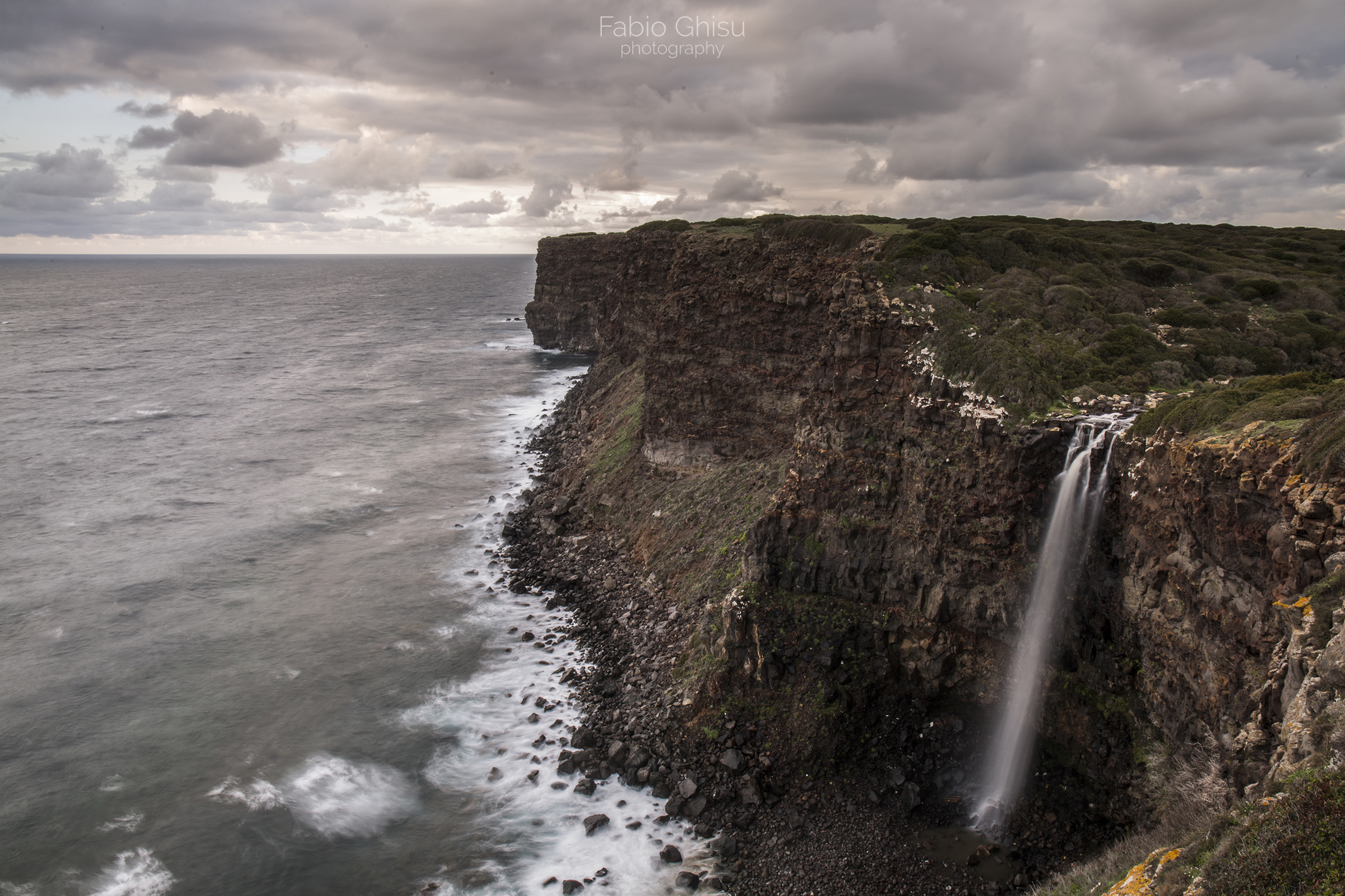
Along the second stage we will encounter several waterfalls. They are the only ones in Italy to fall directly into the sea. Among these the most important is the Capo Nieddu waterfall, which with a 40 meter jump gives the walker great emotions. They are seasonal waterfalls, depending a lot on the rains. In fact they vary a lot depending on the period, going from an abundant flow after days of rain, to being completely dry during the summer. In Capo Nieddu there is also a Spanish watchtower from the medieval era.
Su Riu, S’Archittu and la Balena (The whale)
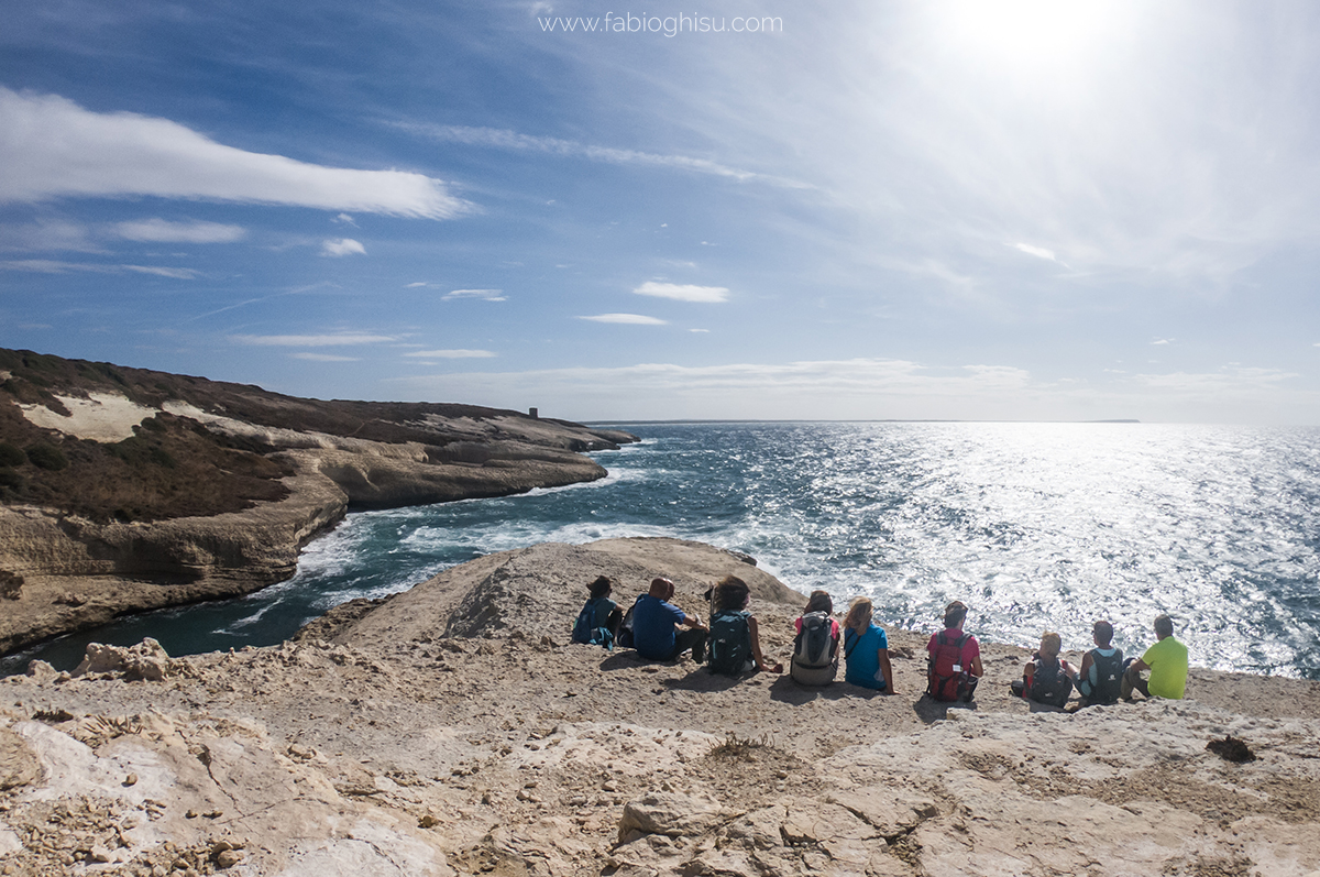
From volcanic rocks you pass in a few meters to limestone rocks, in a lunar environment. Here you find the natural pools of Su Riu. Continuing the walk you arrive at S'Archittu, a natural rock arch that dominates the cove located immediately next to the homonymous location. Continuing further you reach the Balena di Torre del Pozzo, a promontory that when seen from S'Archittu takes on the profile of a whale, with the characteristic Aragonese tower built there. The Pozzo is a chasm connected to an underwater cave from which, with the rough sea, a 'puff' of water comes out.
Sinis Peninsula
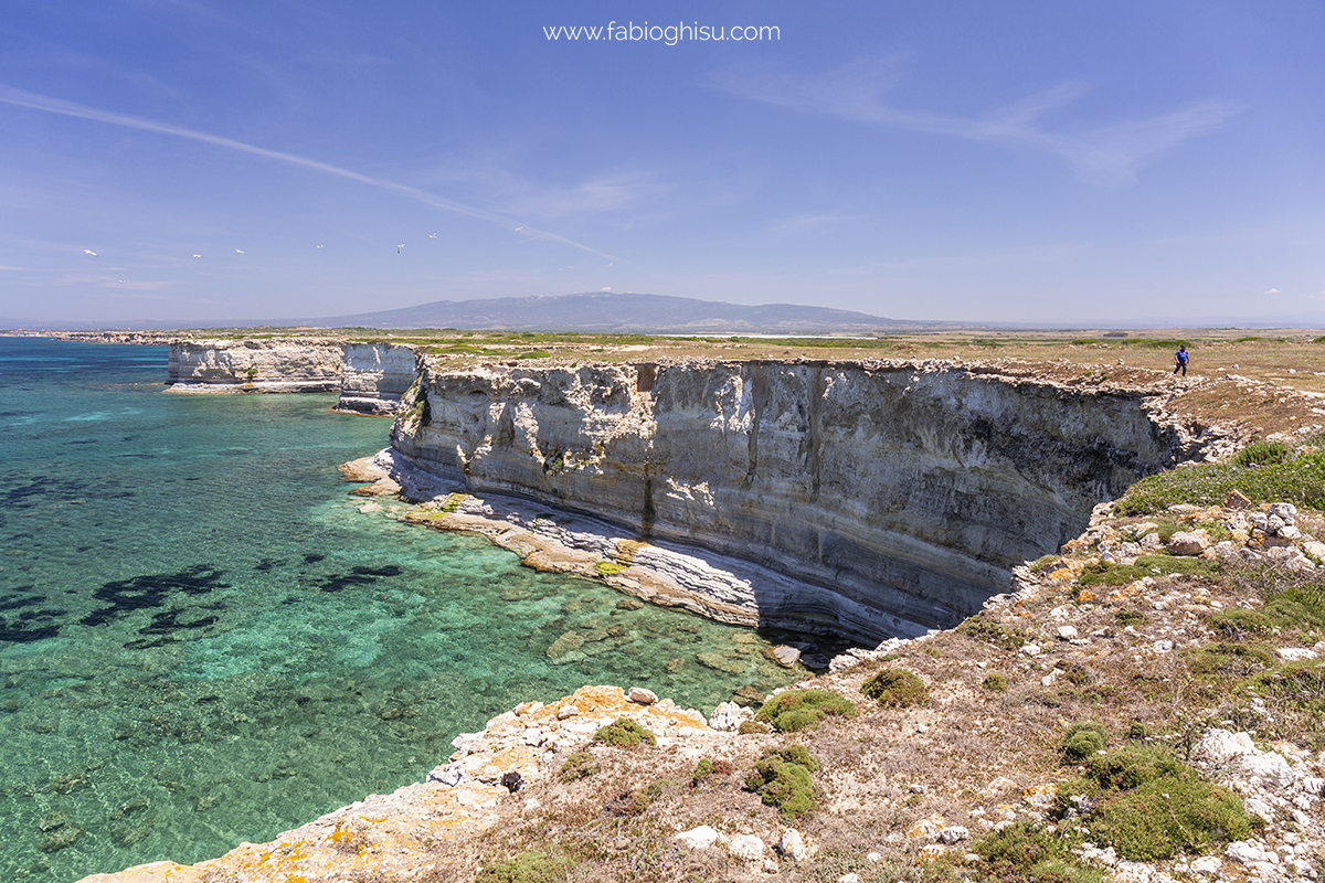
A strip of Sardinia that instils the sensation of continuity between land and sea. In the protected area of the Sinis peninsula and the island of Mal di Ventre, established in 1997 and covering approximately 26 thousand hectares in the territory of Cabras, a colorful collection of terrestrial and lacustrine environments slope gently towards beaches and cliffs. The quartz grains of the ‘coastal pearls’ originate from the disintegration of rocks: a story that began 600 million years ago in Mal di Ventre
Tharros and San Marco Cape
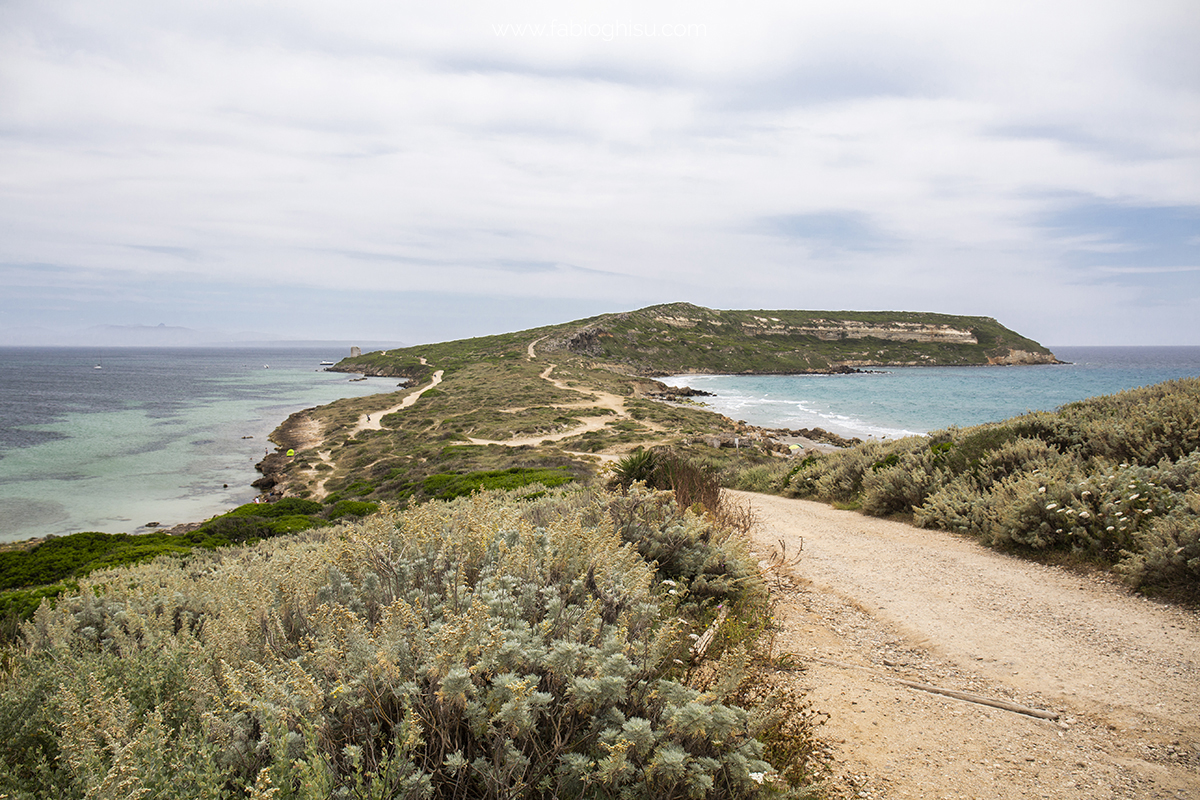
Capo San Marco is a promontory in the southern part of the Sinis peninsula. This strip of land is oriented on the North-South axis, and ends with a sheer cliff, where the Capo San Marco lighthouse is located. It belongs to the Sinis Marine Protected Area, in the municipality of Cabras, is a place of ancient settlements, is also known for the beauty of the landscape, as well as for the naturalness of the small ports created along the eastern shore, sheltered from storm surges and the mistral. Tharros was a Nuragic village, a Phoenician colony, a Carthaginian port, a city in Roman times, a capital in Byzantine times and, finally, the first capital of the Giudicato of Arborea. It is located on the southern tip of the Sinis peninsula
The stages of the journey
First Stage - From Porto Alabe to Punta Foghe
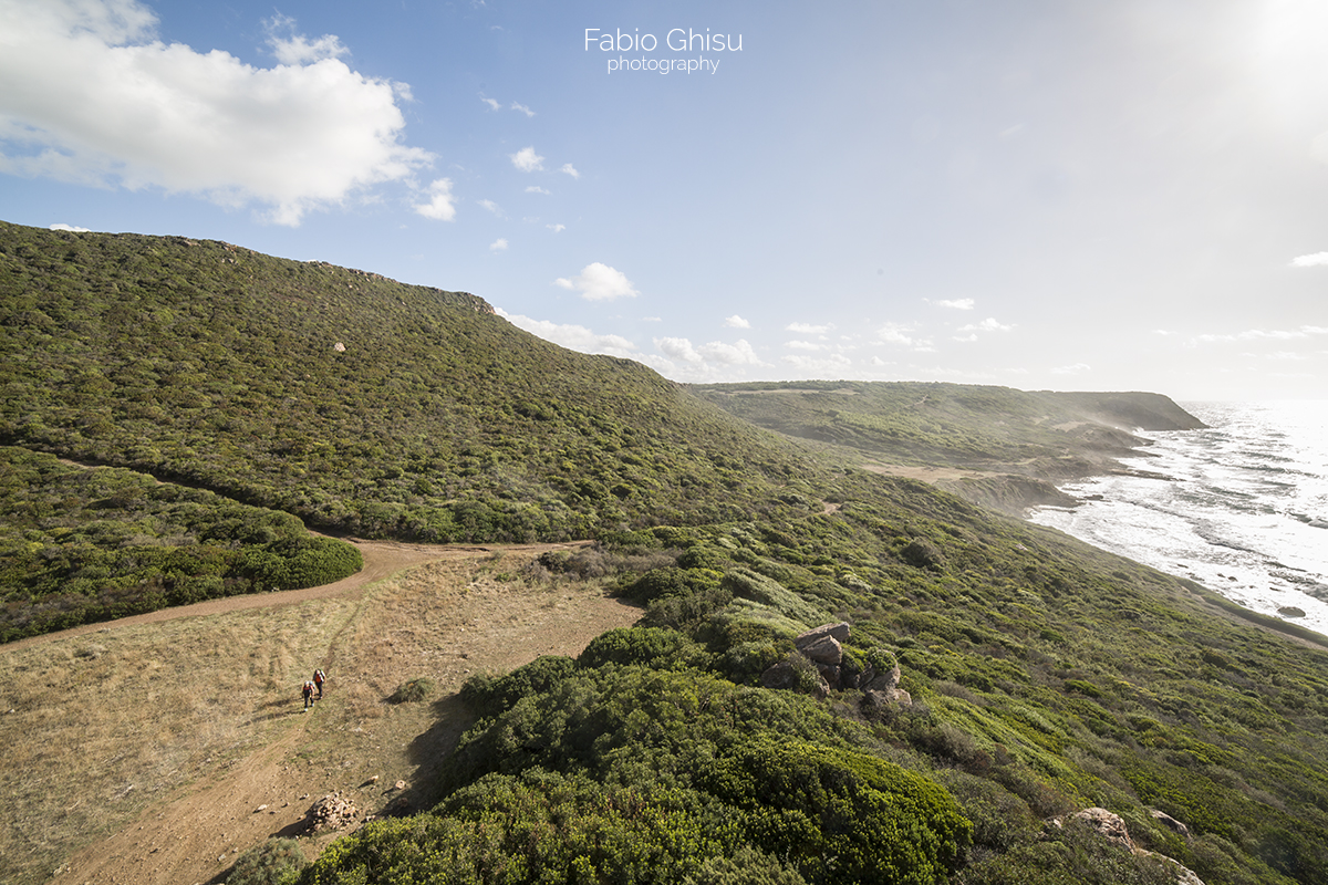
Route Length: 13.5 km
Difference in altitude uphill: 350 m | Difference in altitude downhill: 350 m
Maximum altitude: 170 m above sea level
Difficulty: medium
Possibility of leaving earlier with shuttle service: yes
Second Stage - From Punta Foghe to S'Archittu
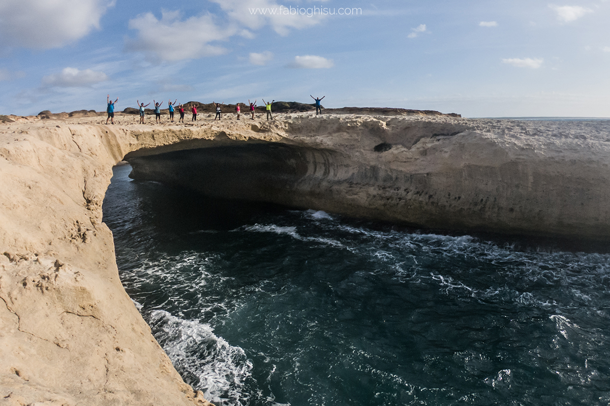
Route Length: 14 km
Difference in altitude uphill: 450 m | Difference in altitude downhill: 450 m
Maximum altitude: 95 m above sea level
Difficulty: medium
Possibility of leaving earlier with shuttle service: yes
Please note: the excursion includes crossing the Rio Manu with an inflatable canoe
(Everything will be done with extreme safety, guided by a FICT canoe instructor who will accompany the hikers one at a time from one side of the river to the other)
Third Stage - From Santa Caterina di Pittinnuri to Capo Mannu
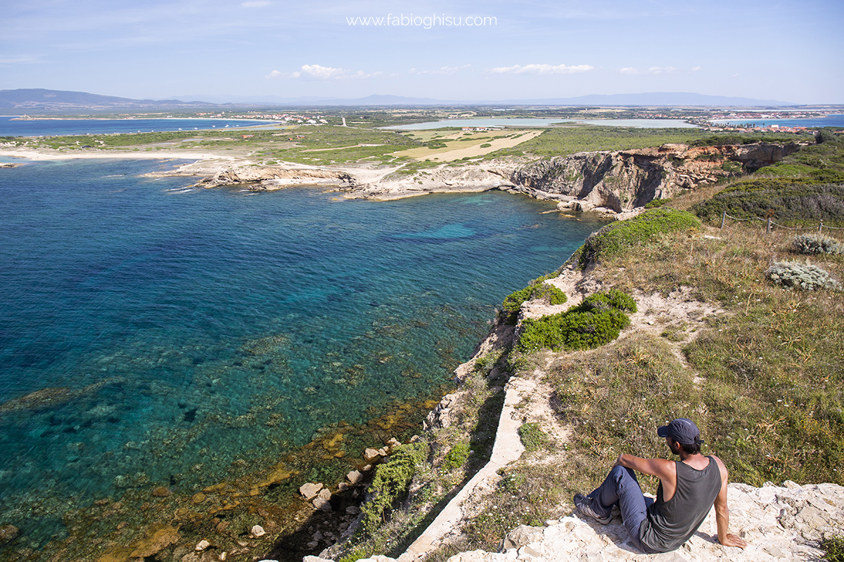
Route length: 20 km
Difference in altitude uphill: 210 m | Difference in altitude downhill: 210 m
Maximum altitude: 42 m above sea level
Difficulty: easy
Possibility of leaving earlier with shuttle service: yes
Please note: the excursion includes a small ford to be tackled barefoot or with water shoes
Fourth Stage: From Capo Mannu to Is Arutas
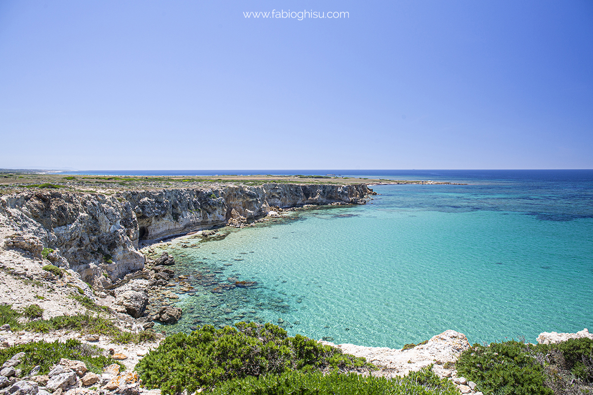
Length of the route: 12 km
Difference in altitude uphill: 125 m | Difference in altitude downhill: 125 m
Maximum altitude: 24 m above sea level
Difficulty: easy
Possibility of leaving earlier with shuttle service: yes
Fifth Stage: From Is Arutas to Tharros
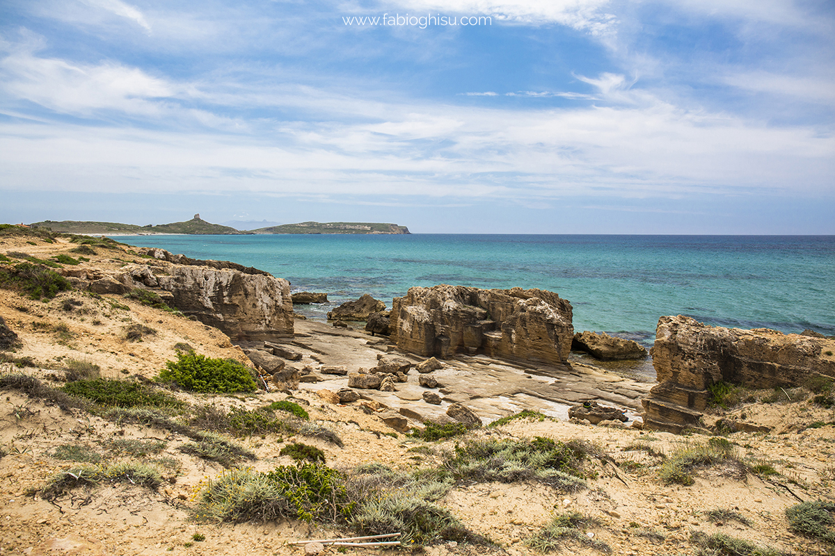
Length of the route: 15 km
Difference in altitude uphill: 100 m | Difference in altitude downhill: 100 m
Maximum altitude: 63 m above sea level
Difficulty: easy
Possibility of leaving earlier with shuttle service: yes
Organizational details
Number of guides needed: 2 guides
Number of shuttles needed: 1 shuttle with 1-7 participants, 2 shuttles with 8-16 participants
Reference airport: Alghero (For arrival) | Alghero or Cagliari (For return)
Check the calendar to see if it's scheduled (Click here!)
Some more pictures:
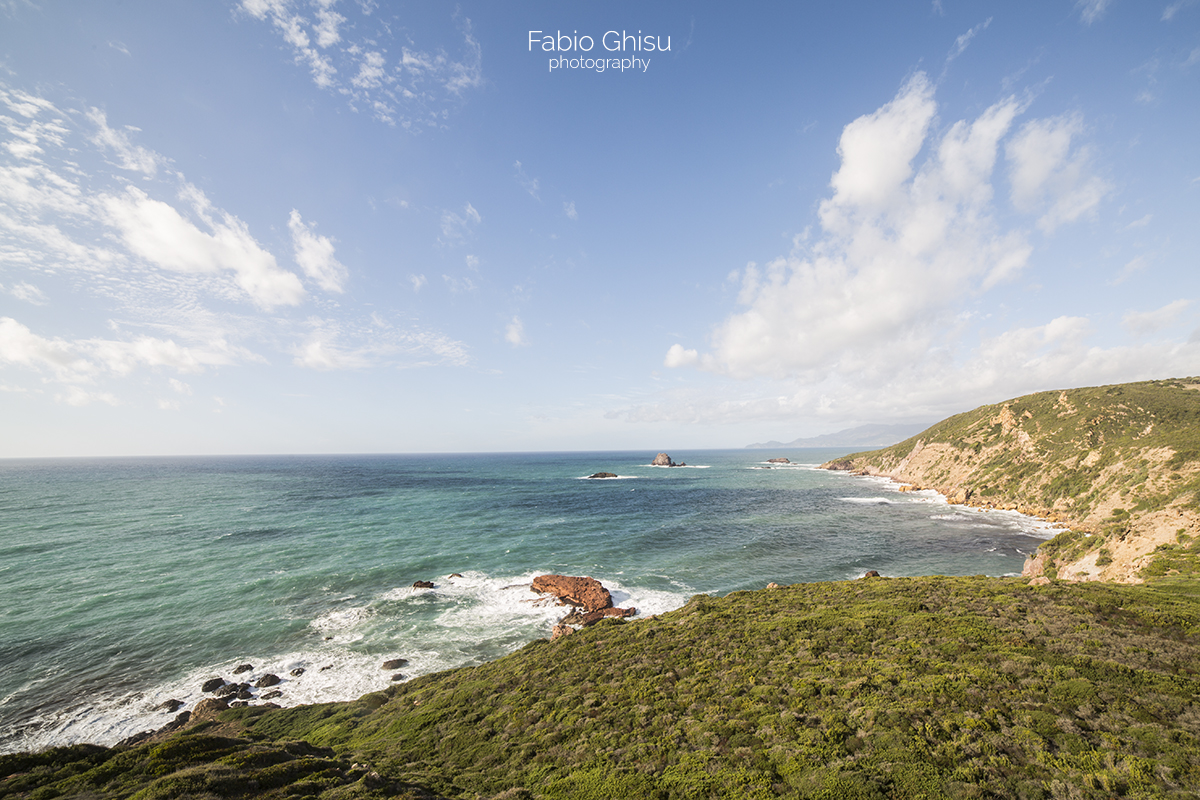
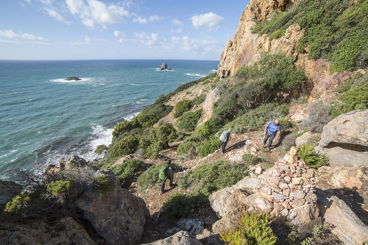
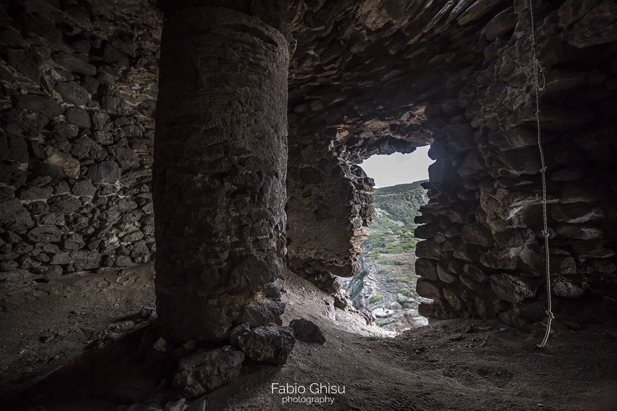
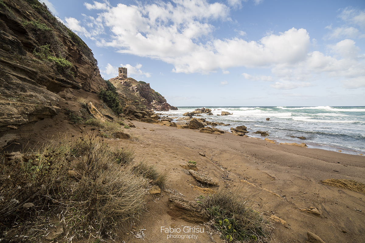
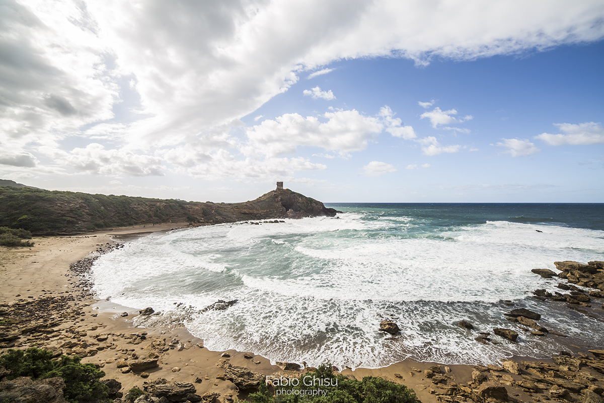
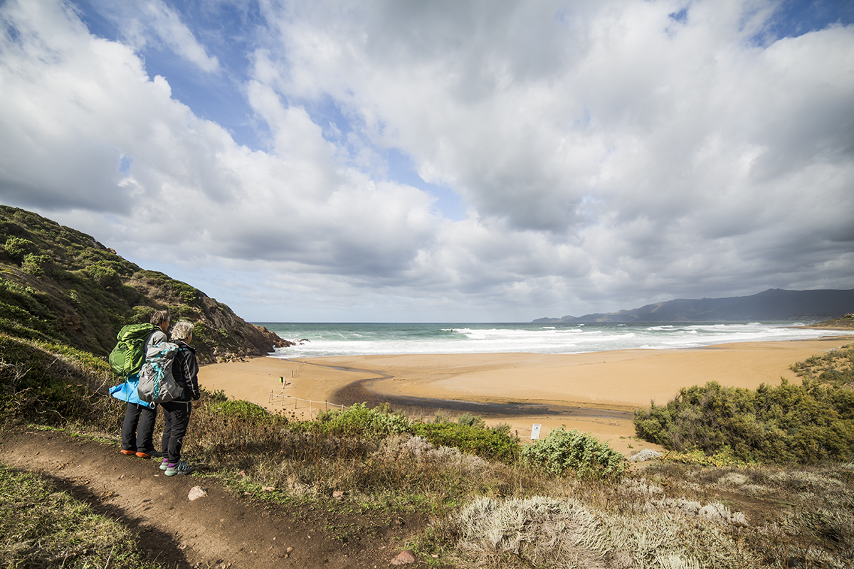
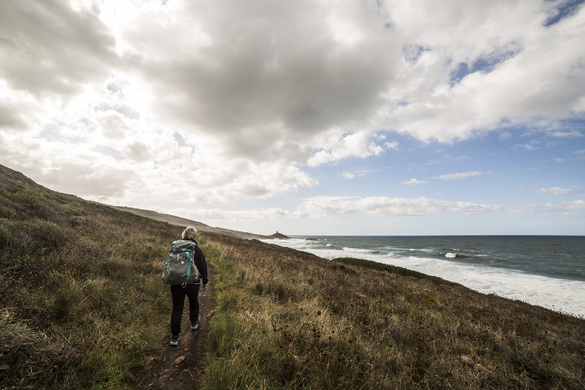
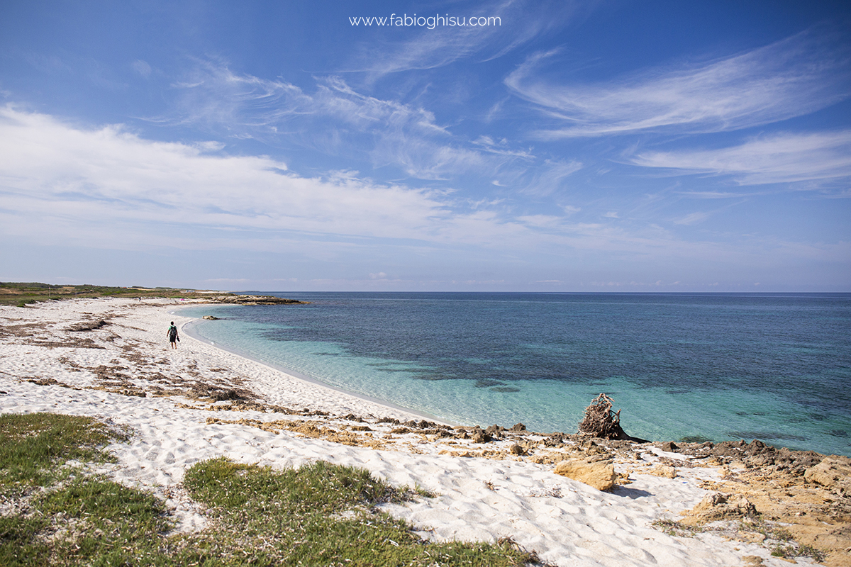
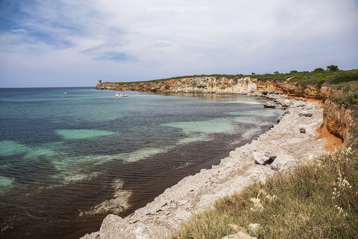
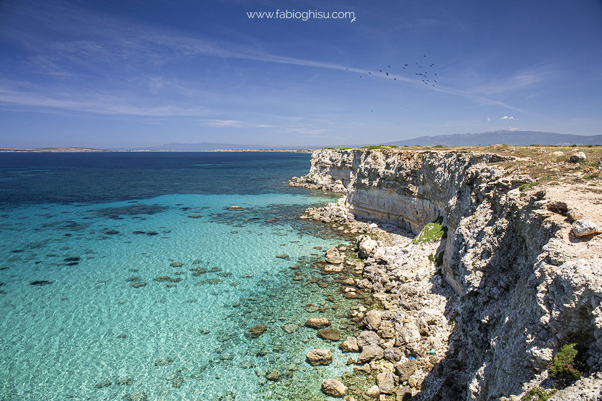
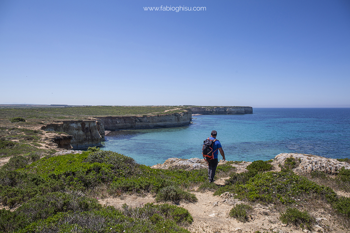
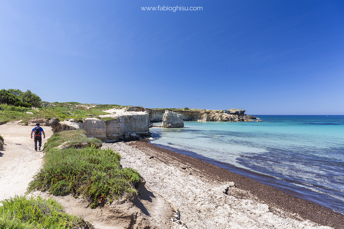
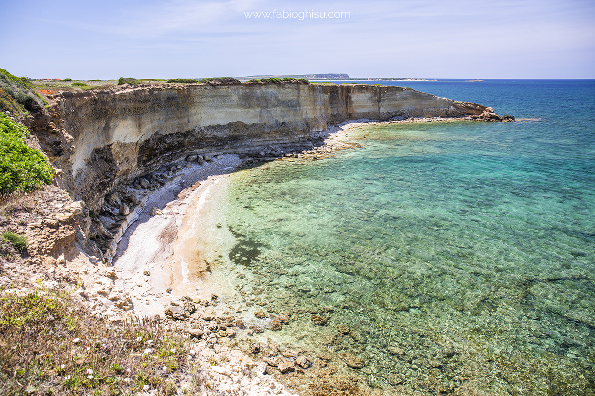
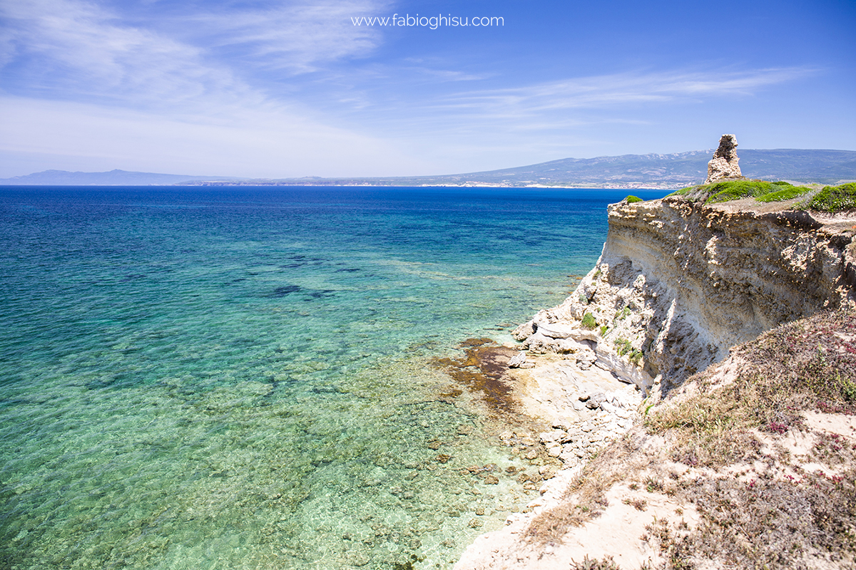
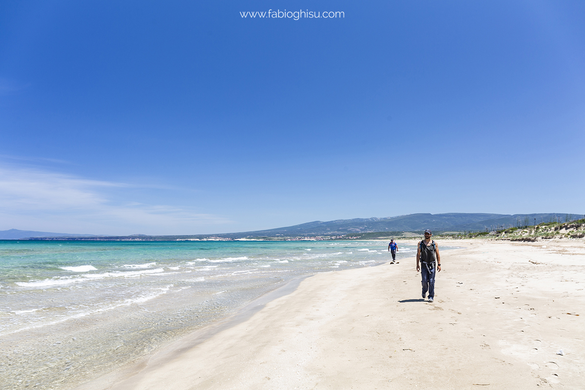
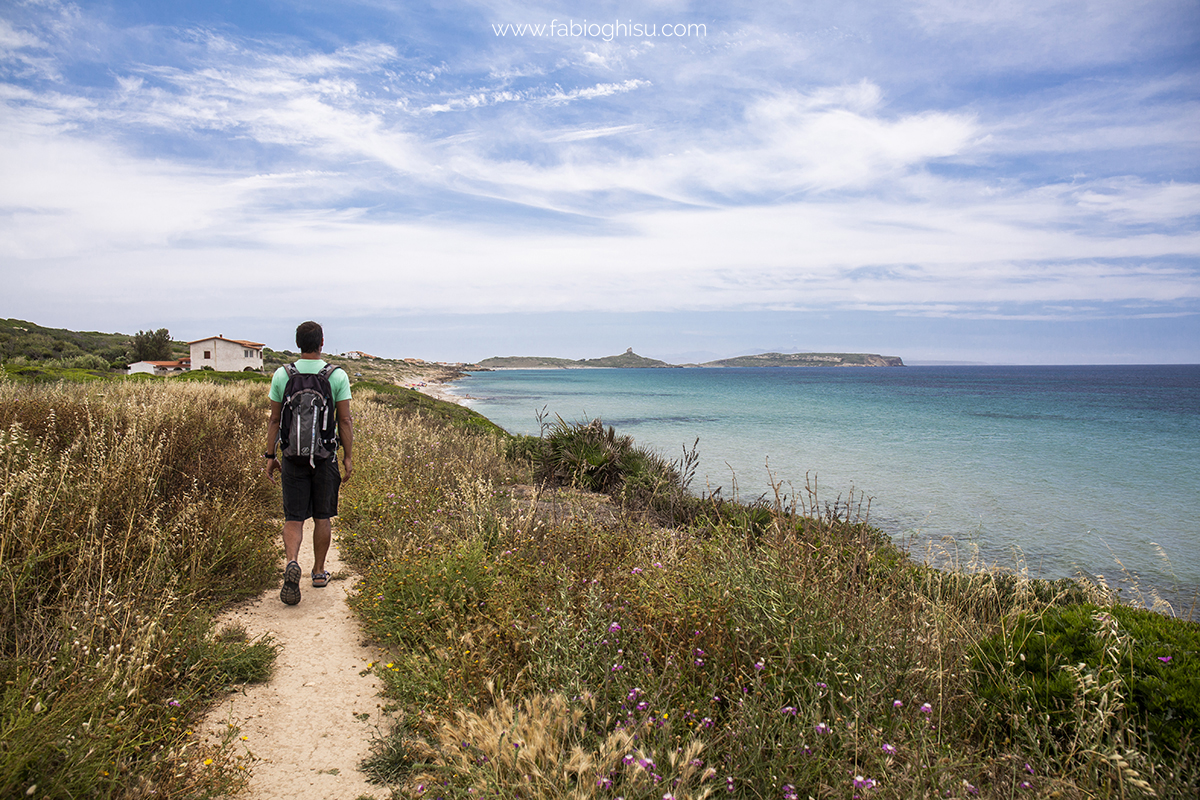
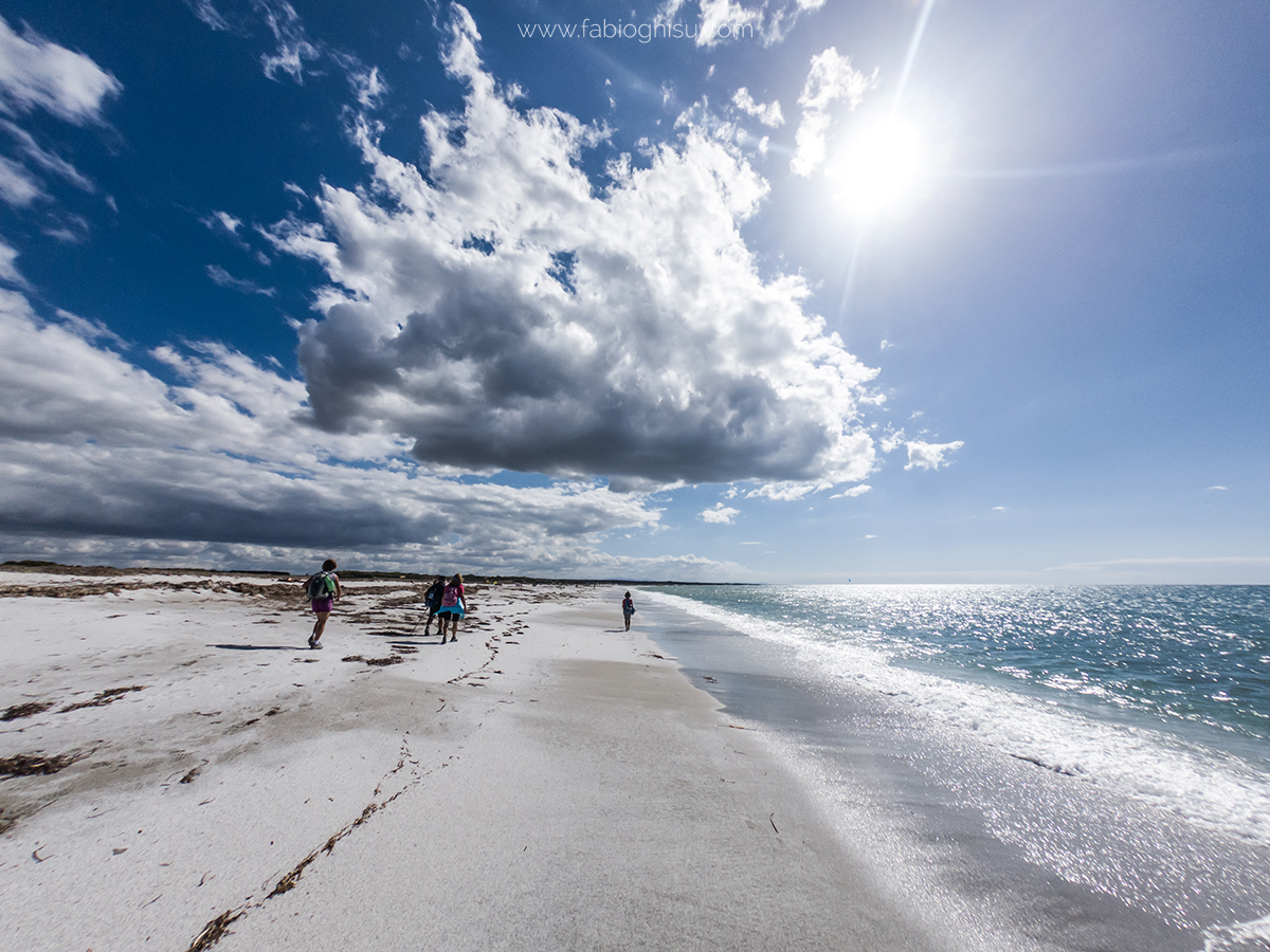
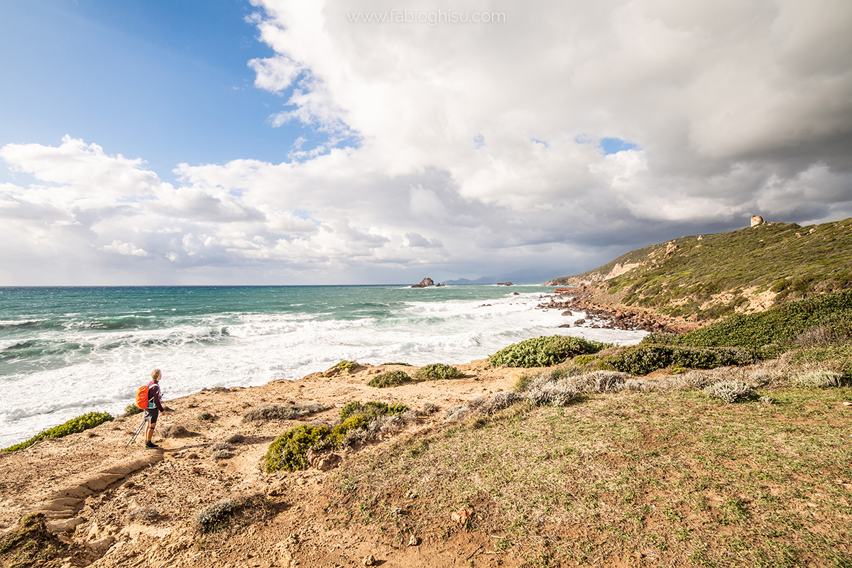
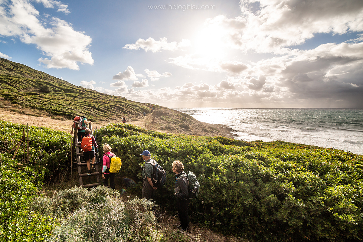
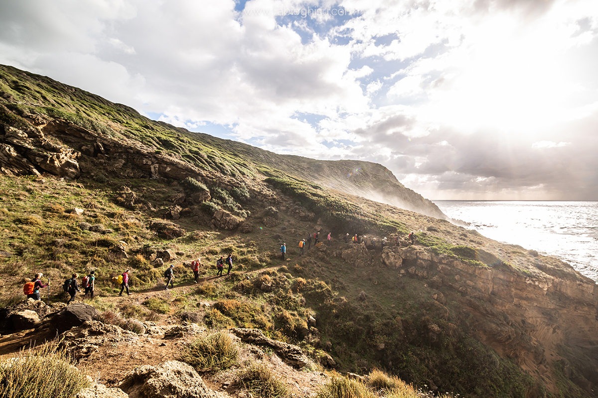
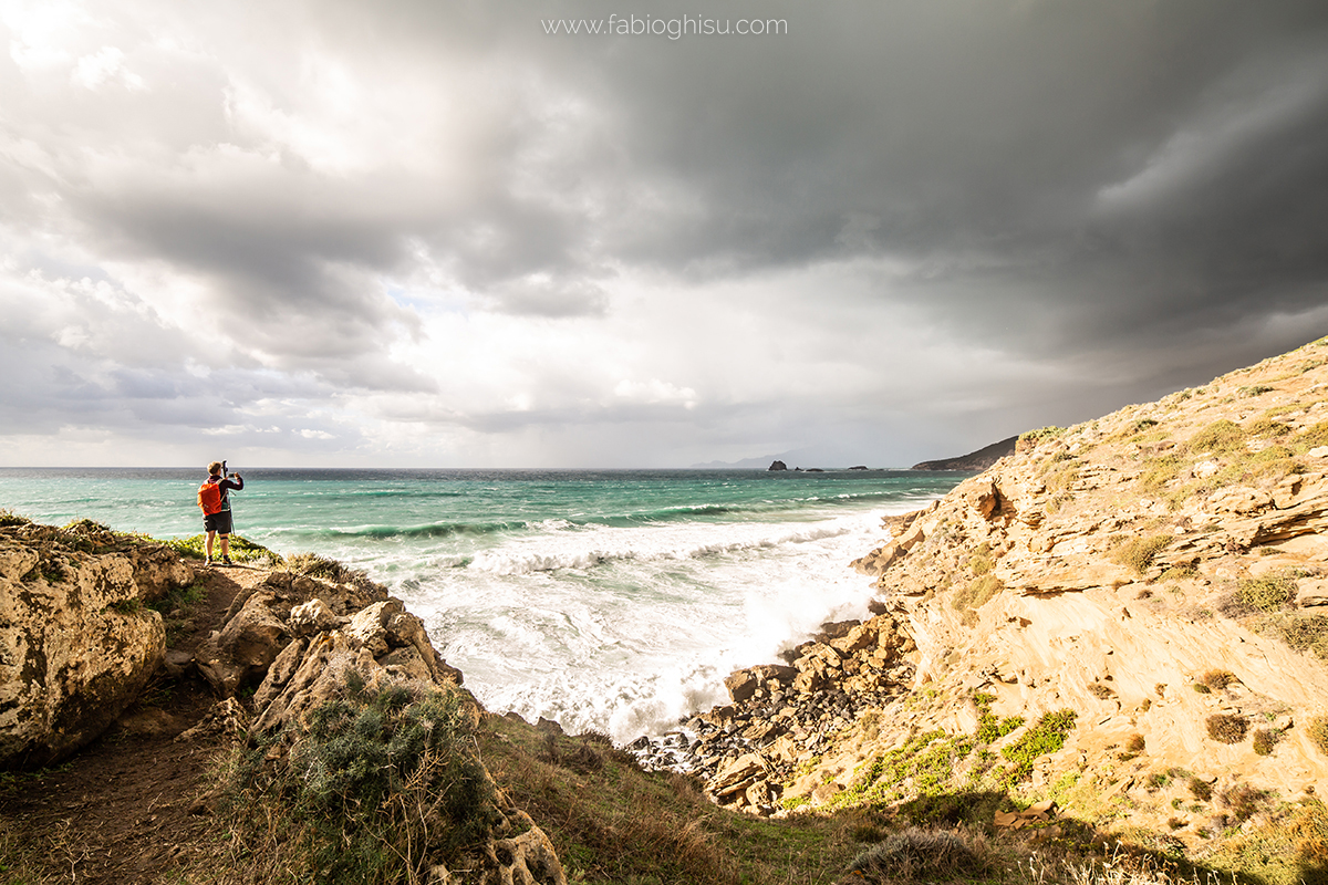
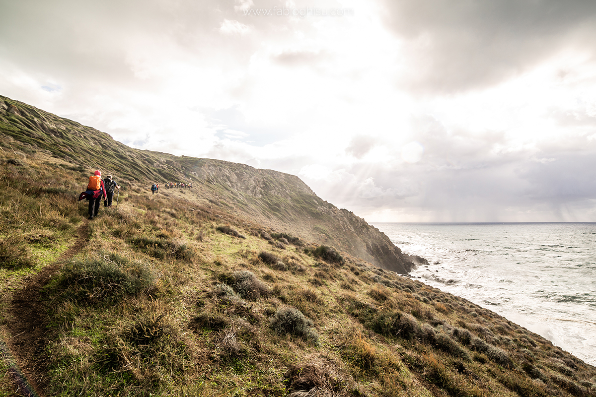
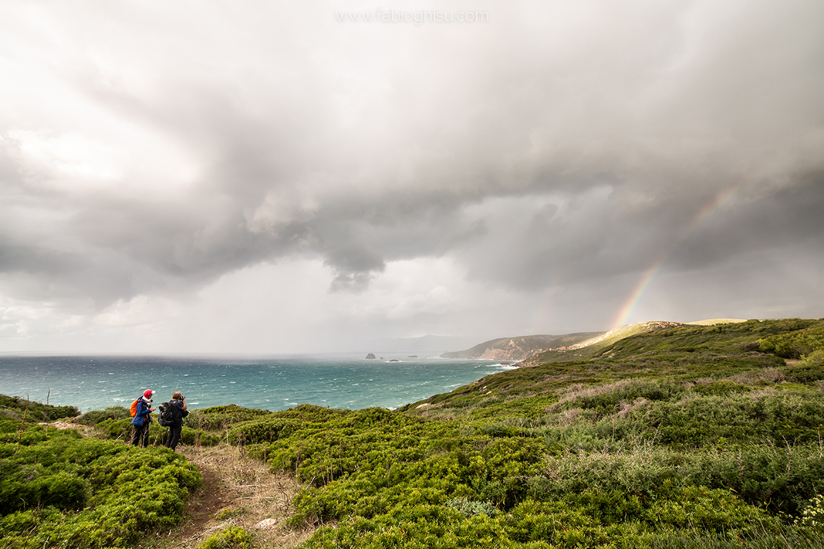
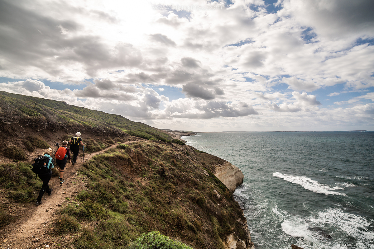
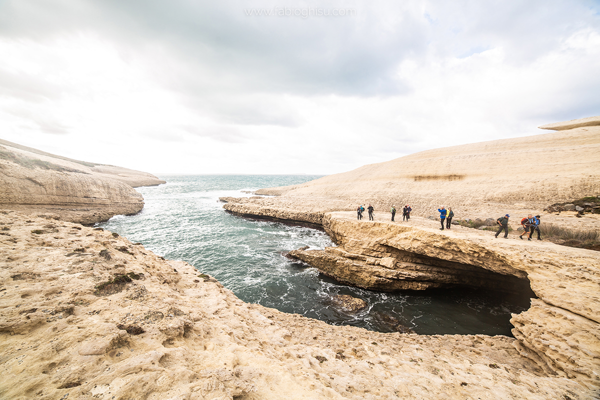
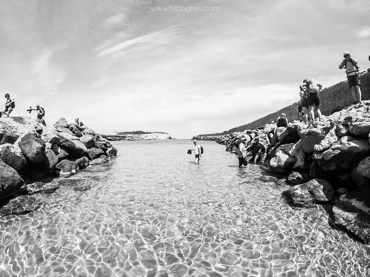
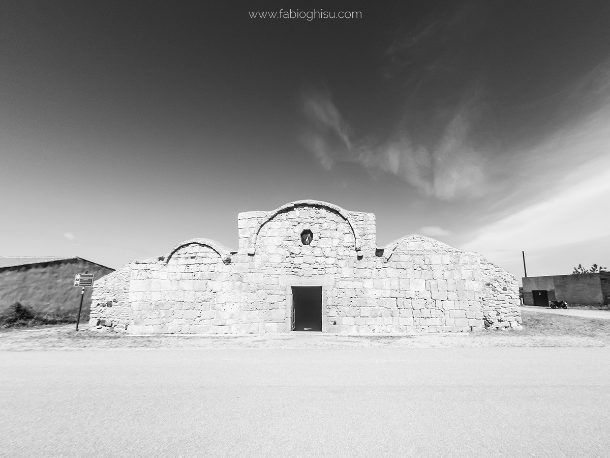
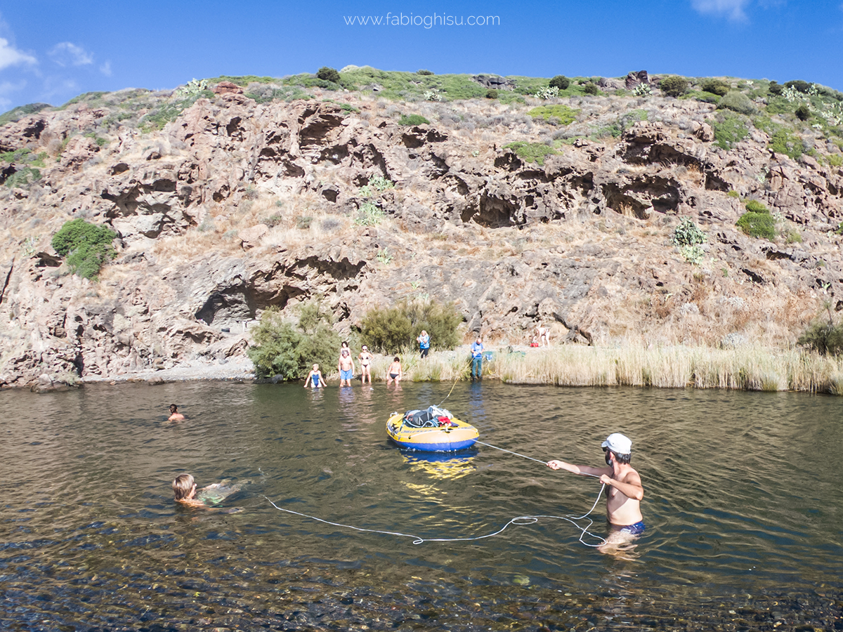
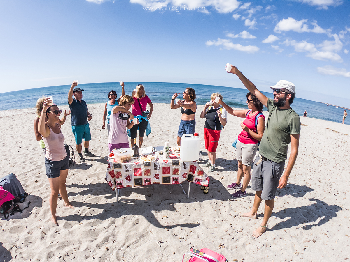
Foto di: Fabio Ghisu
Fonte Testi: Sardegna Turismo e Wikipedia