
A six-day journey along the wild coast of Nurra, in the northwest of the island.
Golden beaches and hidden coves, ancient mining villages and remote shepherds' trails, Mediterranean flora-covered hills and centuries-old oak forests, silver cliffs and limestone caves, the songs of seabirds and the soaring of griffons… and much more…
Within the Sardinia Geomineral Park and the Porto Conte Regional Natural Park
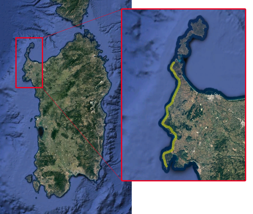
The "Mare di Fuori" Trail is a coastal trek that starts from the Pelosa beach (Stintino), passes through the Argentiera mining village (Sassari), and reaches Capo Caccia (Alghero).
It takes its name from the local term for the stretch of coastline facing the open Sardinian Sea: Mare di Fuori, wilder and much less frequented than the touristy and famous Mare di Dentro, inside the Gulf of Asinara.
A wild, rarely traveled, and fascinating route.
The number of stages can vary between 5 and 6 days, depending on how the daily hikes are organized.
Check the schedule to see if it is available (Click here!)
Main Points of Interest Along the Trail
Pelosa Beach
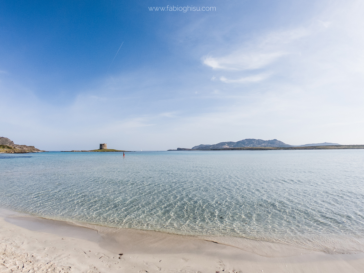
Fine, white sand, crystal-clear shallow waters extending for meters, turquoise and blue hues blending with the sky, and stunning views of surrounding watchtowers. Protected by Capo Falcone's sea stacks, Piana Island, and Asinara Island, Pelosa Beach is a Mediterranean paradise.
Argentiera and Geomineral Park
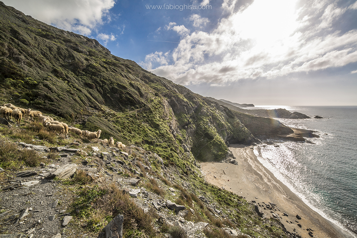
An abandoned mining village and a cove with silver reflections. Argentiera is one of the most adventurous and fascinating places in the Sassari area. Once a lead and zinc mining site, the village flourished in the late 1800s before shutting down in 1962. Today, it remains a unique site for industrial archaeology enthusiasts and is part of the UNESCO-recognized Sardinia Geomineral, Historical, and Environmental Park.
Punta Li Capparoni
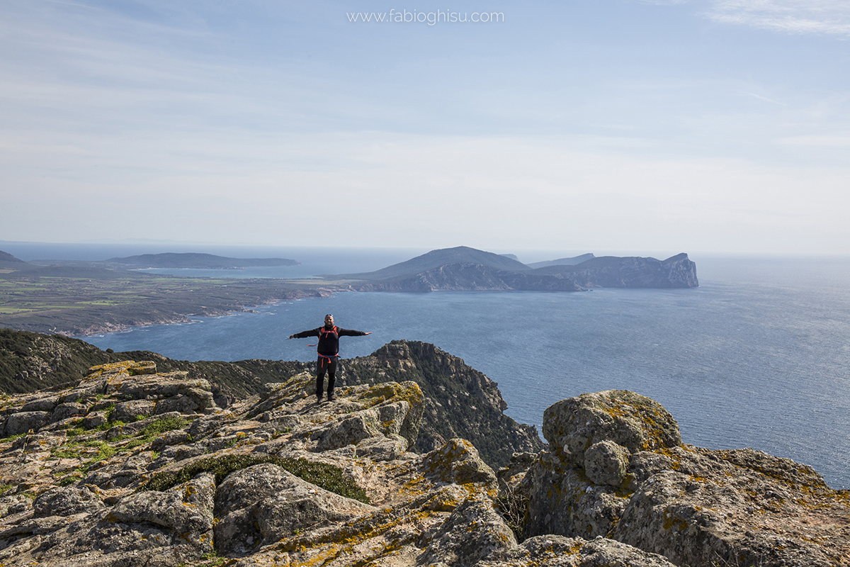
The highest point of the entire trek, at 445 meters above sea level. From the top, the view is breathtaking: the Stintino peninsula, Asinara Island, and its entire gulf on one side, and the towering cliffs of Porto Conte Park and Lake Baratz on the other. The coastal path features sheer cliffs and rugged landscapes, transitioning into Mediterranean scrub and ancient pastures.
Porto Ferro and Lake Baratz
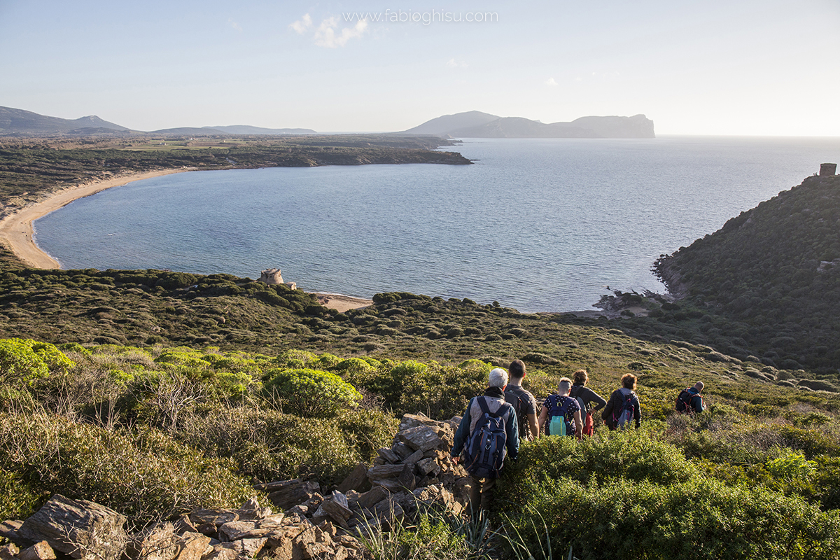
Porto Ferro Beach is the longest along the trek, stretching two kilometers with its characteristic yellow-reddish sand. The coastline is guarded by three 17th-century Spanish watchtowers. Nearby, Lake Baratz, Sardinia's only natural lake, is surrounded by lush vegetation and massive sand dunes up to 30 meters high.
Porto Conte Park
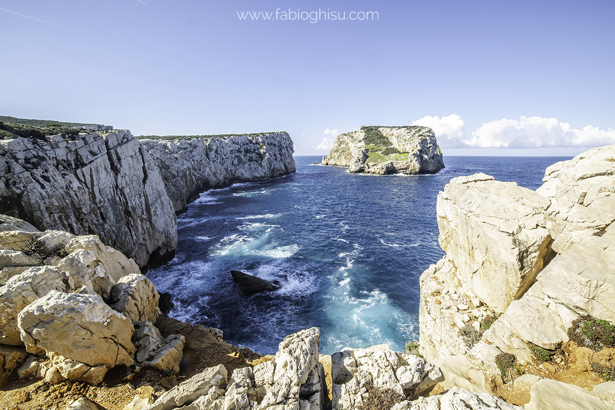
Transitioning from schistose rocks in the north to limestone formations, Porto Conte Regional Park covers over 5,000 hectares and is home to diverse animal and plant species. It includes high coastal cliffs, Mediterranean scrub, forests, and wetlands. A colony of griffon vultures nests here, adding to its ecological importance.
Capo Caccia
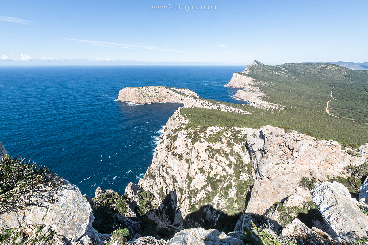
Part of the Porto Conte Park ecosystem, Capo Caccia features massive limestone cliffs with numerous caves, including the famous Neptune's Grotto. The headland offers spectacular views of Alghero's gulf and Foradada Island, a stunning backdrop for birdwatching species such as Bonelli's eagle, peregrine falcon, yellow-legged gull, and griffons.
Organizational Details
Required guides: 2 guides
Required shuttles: 1 for 1-7 participants, 2 for 8-16 participants
Nearest airport: Alghero
Check the schedule to see if it is available (Click here!)
Some more pictures:
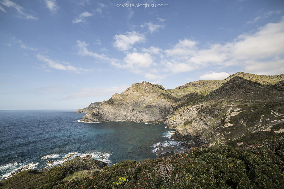
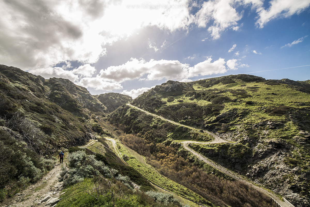
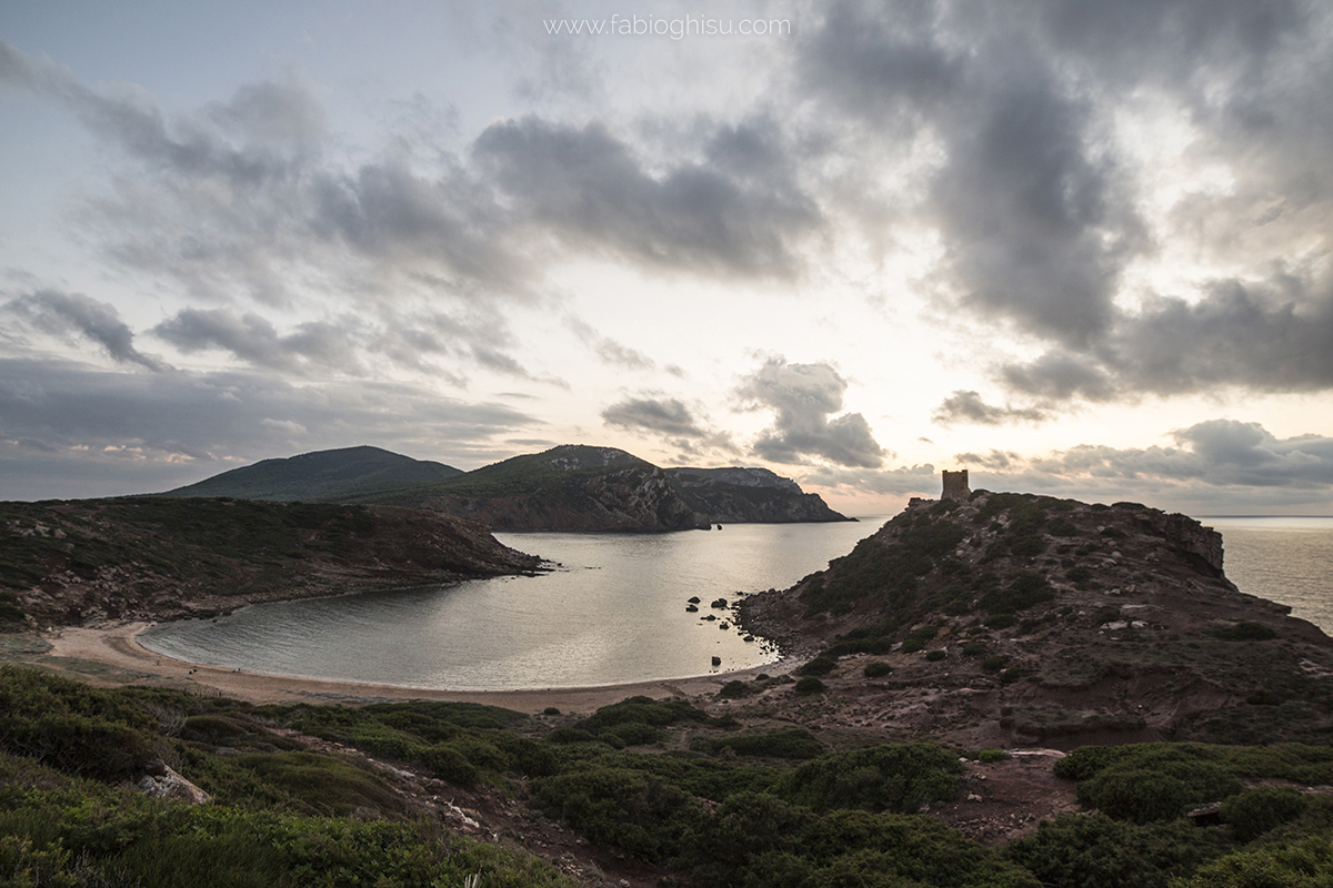
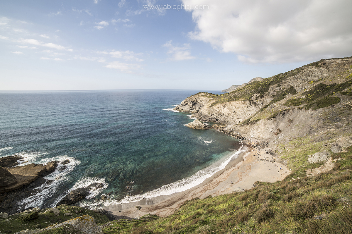
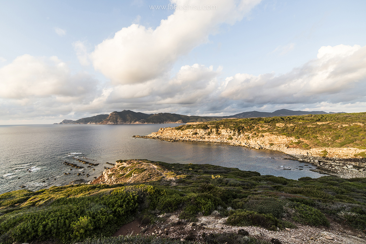
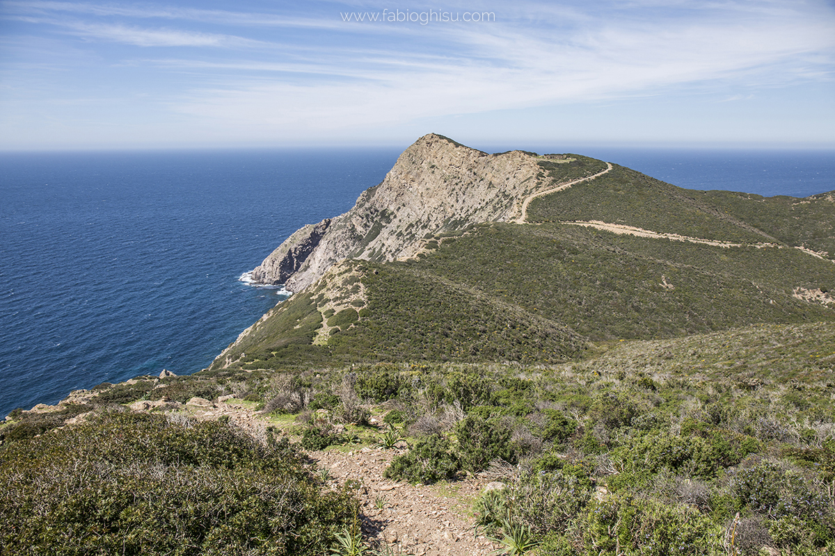
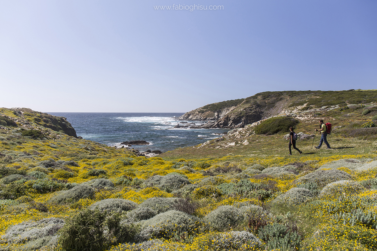
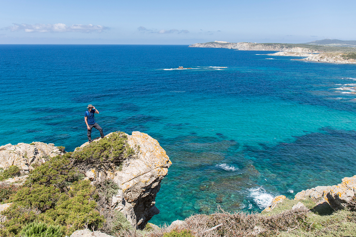

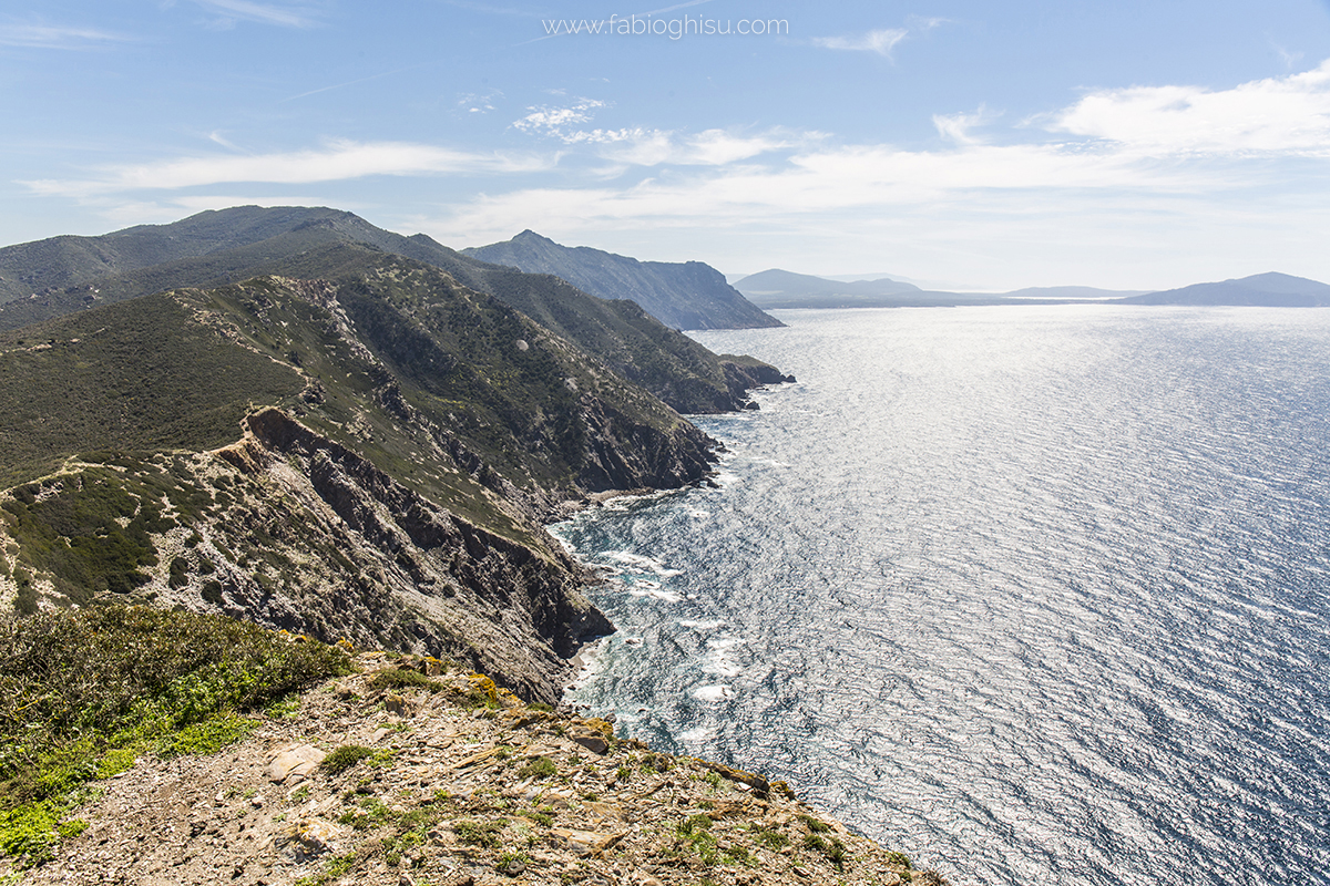
Foto di: Fabio Ghisu
Fonte Testi: Sardegna Turismo e Wikipedia