
Five days in the most evocative and characteristic places of the Supramonte, among canyons, sinkholes, caves, archaeological sites, waterfalls, ancient trees, and hidden coves.
Monte Corrasi, Tiscali, Gorroppu, Pischina Urtaddala, Sa Giuntura, Cala Luna... and other enchanting places for a concentrated adventure!
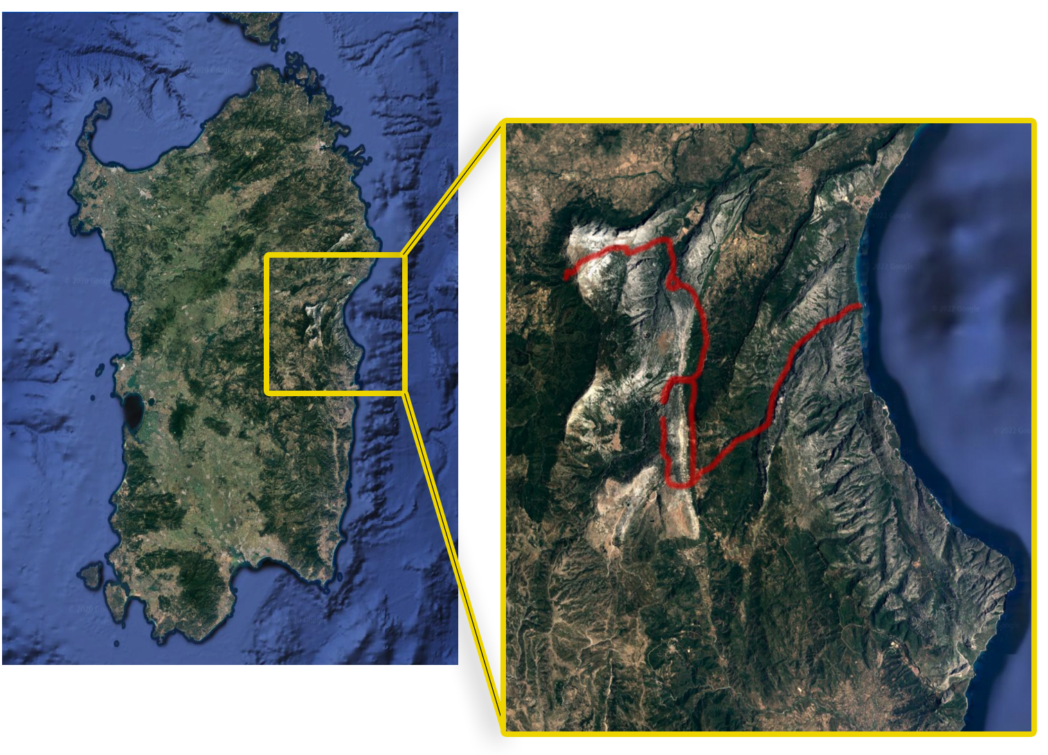
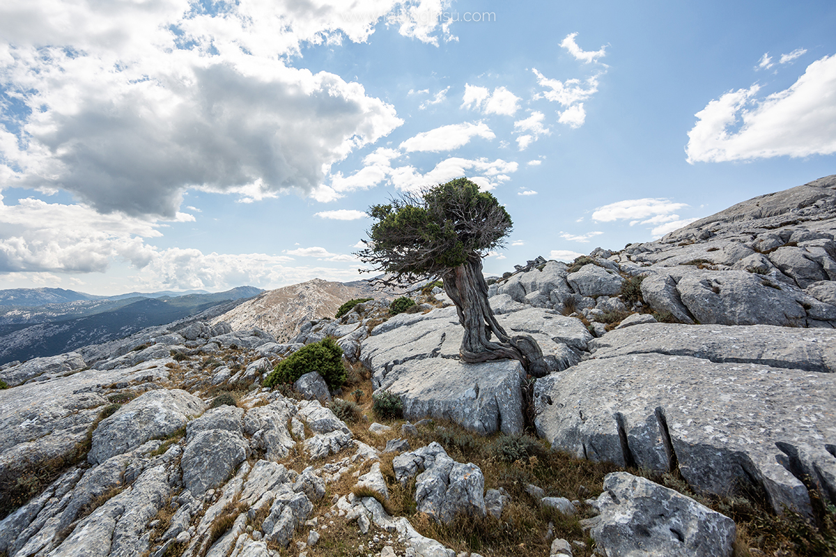
This trekking experience involves walking through some of the most evocative and characteristic places of the Supramonte. The limestone rock will be the main protagonist, bringing with it a karst environment made up of caves, sinkholes, cliffs, springs, fractures, and canyons. One of the wildest places in Sardinia, yet at the same time well-organized and structured for hiking and support facilities. The journey starts in the mountains and ends by the sea. Five challenging trekking days of medium difficulty, with several rough passages that require some training and experience.
Check the calendar to see if it's scheduled (Click here!)
Main Points of Interest Along the Route
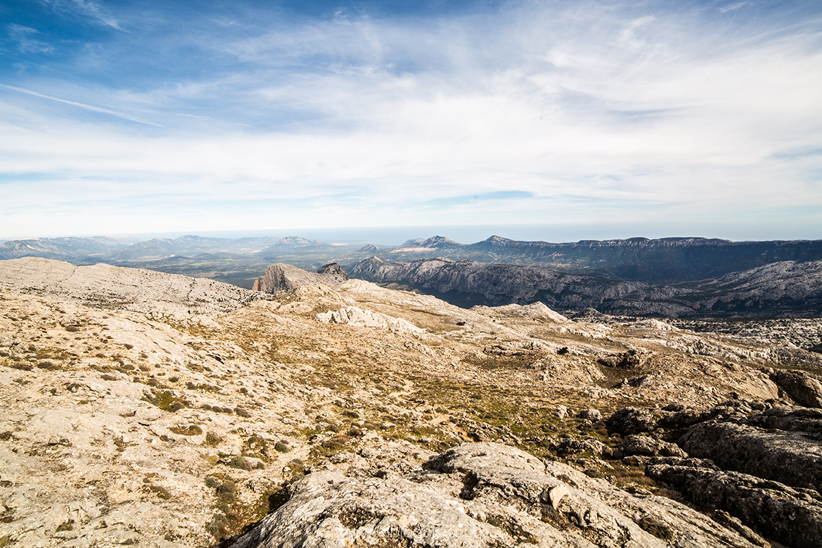
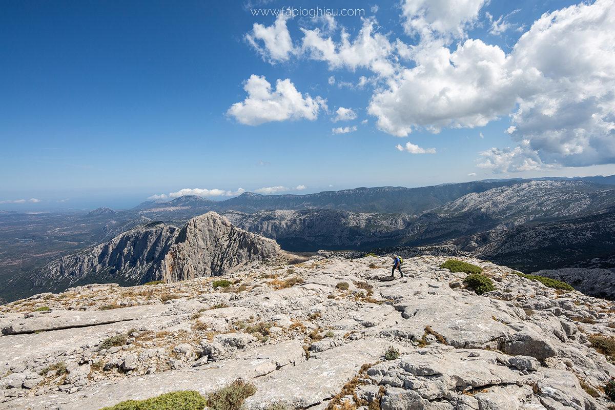
Monte Corrasi
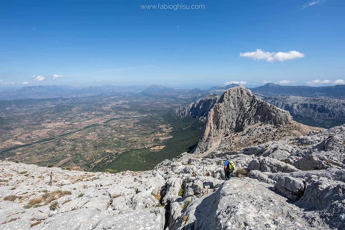
Monte Corrasi is the highest peak of the vast and rugged Supramonte plateau, as well as one of the most impressive elevations on the island. The demanding trails that cross it and ascend to 1463 meters are a sought-after challenge for experienced and fit trekking enthusiasts who travel to Oliena to climb it. From the Corrasi ridge, you will enjoy spectacular views and a 360-degree panorama extending to Nuoro, Orgosolo, Dorgali, all the way to the coast of Cala Gonone and the Gennargentu mountains. Its appearance is characterized by sheer limestone walls, towers, bright white spires, caves, and vast plateaus—barren and harsh at the summit, covered in holm oaks at the mid-level, and adorned with olive trees, vineyards, and almond trees in the valley.
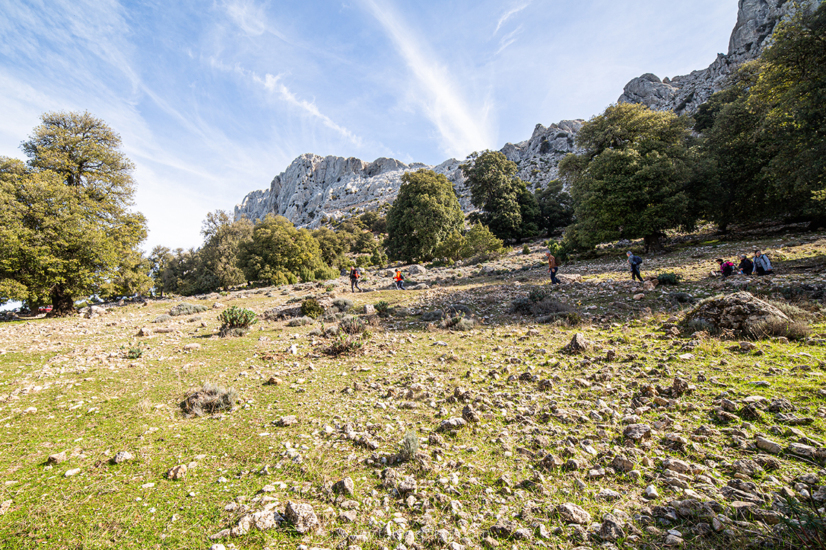
Tiscali
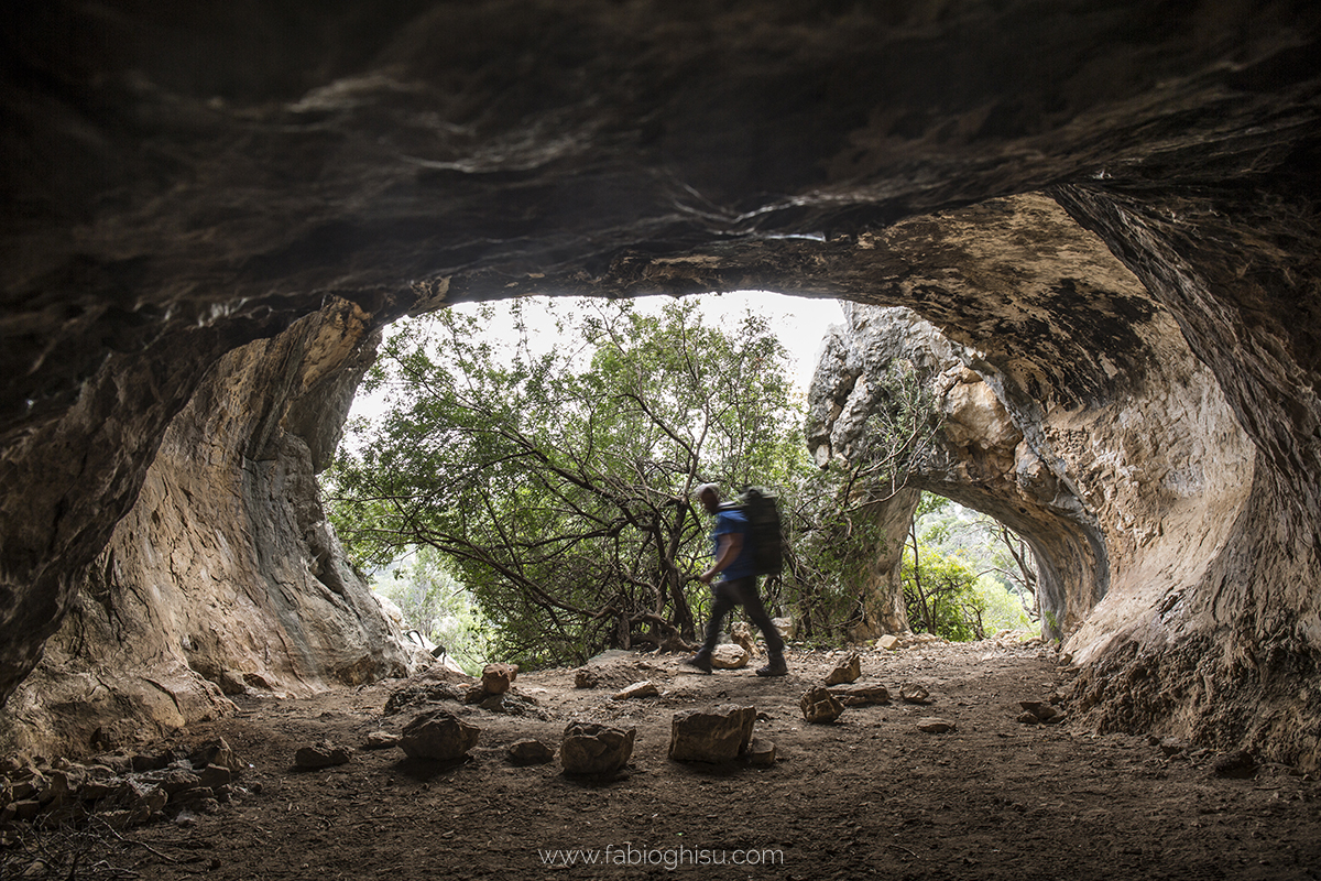
An archaeological treasure hidden in the crest of a mountain, in a picturesque corner of the Barbagia region. The hypogeum village of Tiscali is a unique Nuragic settlement in terms of topography and architecture, nestled within a massive sinkhole formed by a collapse in the 'roof' of the mountain of the same name. It may have been the last stronghold of the late Nuragic people against the advancing Romans. Discovered in the early 20th century, it remains a subject of study to understand the Barbaric communities that inhabited the island's central-eastern regions during the Republican era.
The Monte Tiscali, just over 500 meters high, separates the Supramonte of Oliena and Dorgali—two opposing worlds: to the west, the rugged and wild Lanaittu valley; to the east, the gentle and fertile Oddoene valley, where the Flumineddu river flows, having carved out the Gorropu gorge.
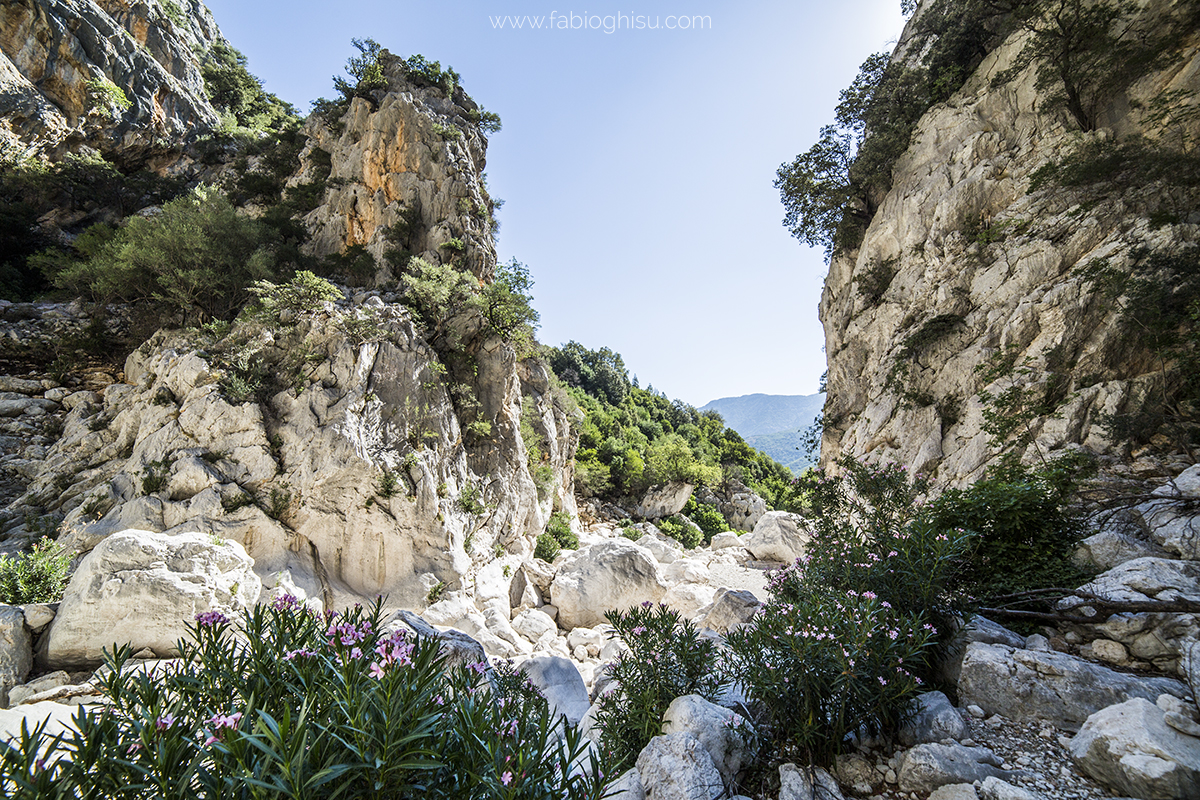
Gorroppu
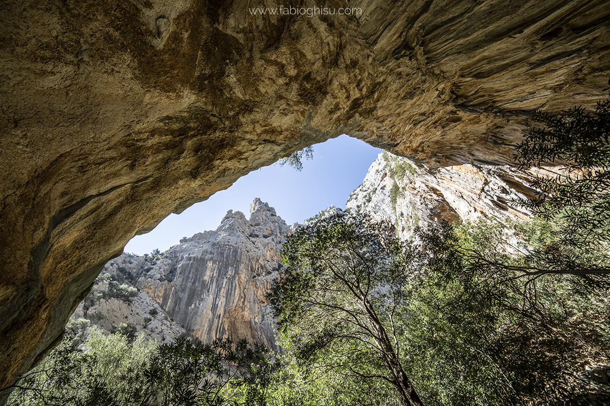
It is the most spectacular canyon in Europe and one of the deepest. Gorropu is an erosive-origin gorge, stretching for one and a half kilometers, marking the border between the Barbaricino territory of Orgosolo and the Ogliastra region of Urzulei. Over time, it has been shaped by the power of the Flumineddu river, which flows at its base, fed by waters that traverse the Supramonte—partly infiltrating underground tunnels and partly re-emerging from springs downstream of the gorge. The stream has eroded the limestone rock, creating the canyon. Its walls contain fossils that reveal its underwater origins, dating back between 190 and 60 million years ago.
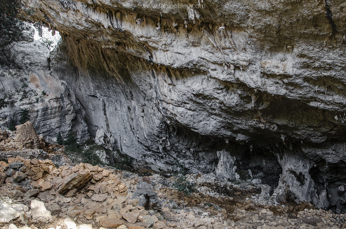
Pischina Urtaddala and Sa Giuntura
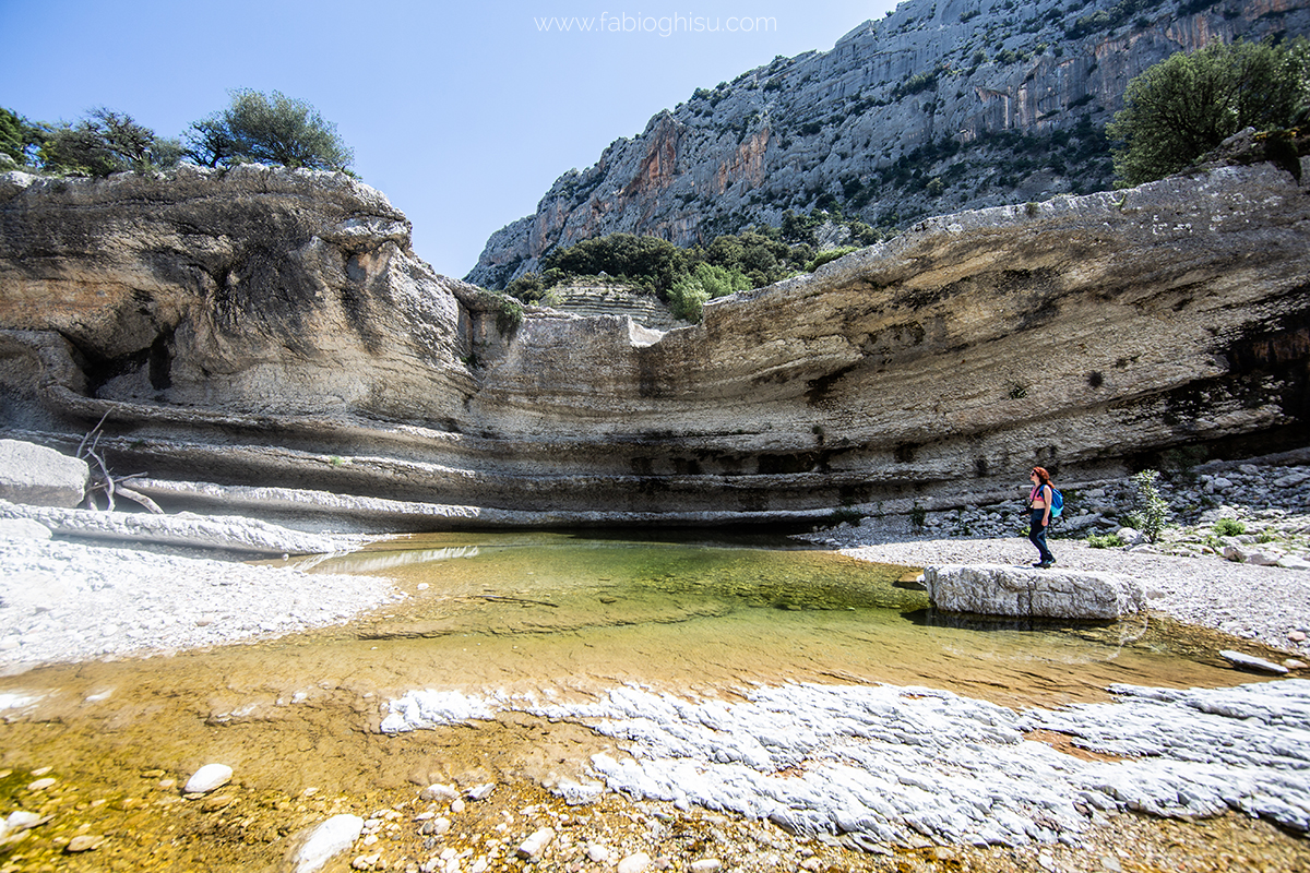
Pischina Urtaddala is a vast cave at the base of which lies a small lake, a vital water reserve for wildlife, shepherds, and livestock that have frequented this remote corner of the Supramonte of Urzulei for centuries. Sa Giuntura is the junction between the Flumineddu river and the torrential stream of Codula Orbisi—a magical place of waterfalls, natural pools, and rocks sculpted into countless shapes...
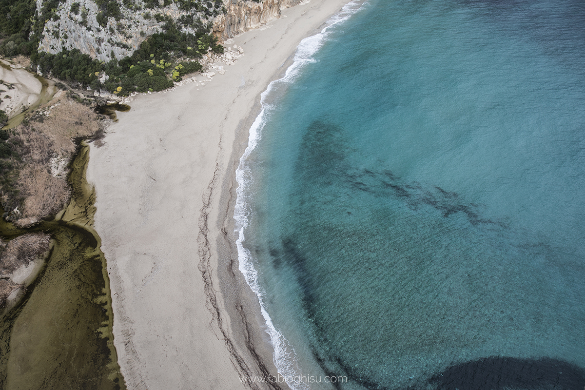
Cala Luna
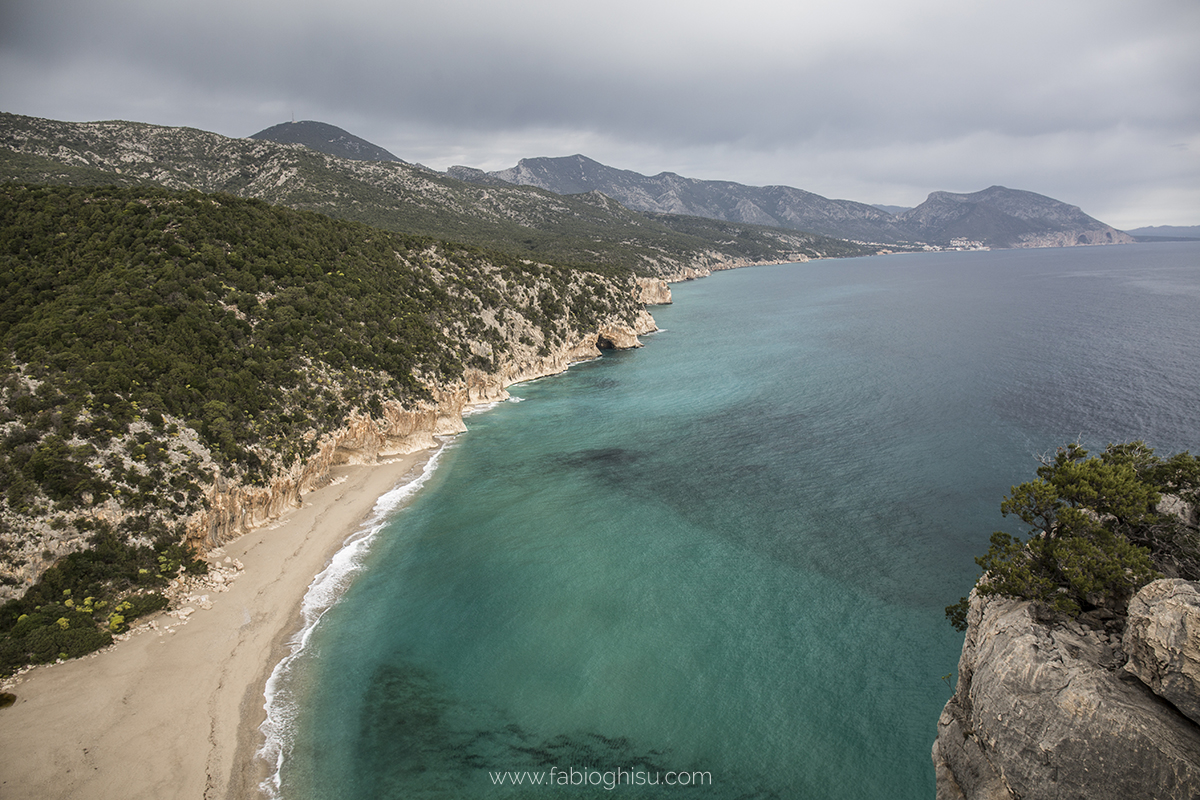
One of the wonders of the Gulf of Orosei and the entire Mediterranean. Cala Luna is an inlet carved into the cliffs, featuring a dazzling 800-meter stretch of fine golden sand that merges into crystal-clear, azure waters. The seabed, shallow in the first few meters, quickly deepens, making it a favorite spot for snorkeling, diving, and spearfishing enthusiasts. This Polynesian-like cove lies at the mouth of the Illune stream, which has carved a long canyon—the Codula di Luna—over millennia. The water flows through the gorge for kilometers, feeding a small lake behind the beach, surrounded by oleander trees and Mediterranean vegetation.
Organizational Details
Required guides: 1 guide for 1-8 participants, 2 guides for 9-16 participants
Required shuttles: 1 shuttle for 1-8 participants, 2 shuttles for 9-16 participants
Nearest airport: Olbia
Check the calendar to see if it's scheduled (Click here!)
Some more pictures:
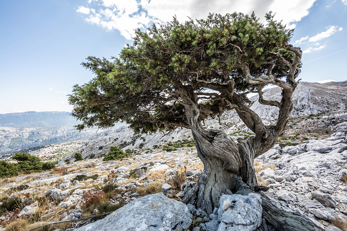
Photos by: Fabio Ghisu
Text sources: Sardegna Turismo and Wikipedia